
New Cloud Radar and Sonde Products Available for BAECC Campaign
Published: 17 November 2021
The Atmospheric Radiation Measurement (ARM) user facility released two new cloud radar and sonde value-added products (VAPs) from the Biogenic Aerosols – Effects on Clouds and Climate (BAECC) field campaign.
BAECC took place from February to September 2014 in Hyytiälä, Finland.
The new BAECC VAPs are Interpolated Sonde (INTERPSONDE) and Ka-Band ARM Zenith Radar Active Remote Sensing of CLouds (KAZRARSCL).
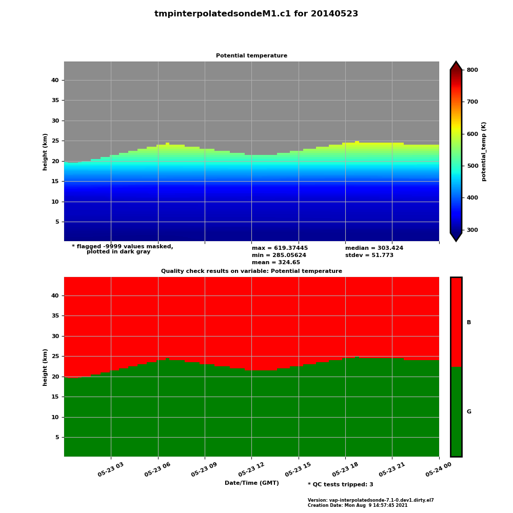
INTERPSONDE transforms sounding data from weather balloon (sonde) launches into continuous daily files on a fixed time-height grid. Standard ARM sounding files provide atmospheric state data in one dimension of increasing time and height per sonde launch. Many applications require a quick estimate of the atmospheric state at higher time resolution.
To address this need, INTERPSONDE is available at 1-minute time resolution, and the grid extends from the surface to 332 levels (40 kilometers) to capture the full height of soundings. (Most soundings end between 25 and 30 kilometers, above which no data are provided.) Between soundings, the VAP linearly interpolates atmospheric state variables at each height level. In addition, INTERPSONDE data provide relative humidity scaled to microwave radiometer observations.
KAZRARSCL allows scientists to more easily use corrected observations from ARM’s vertically pointing cloud radar and to access hydrometeor masks and cloud boundaries for the entire BAECC campaign.

The VAP combines KAZR, micropulse lidar, ceilometer, sounding, and microwave radiometer input observations, and it produces two datastreams. The arsclkazr1kollias datastream provides best-estimate radar reflectivities, mean Doppler velocities, spectral widths, and a significant detection mask in time and height. This datastream also provides up to 10 layers of cloud boundaries (cloud base and cloud top) and best-estimate cloud base. The smaller arsclkazrbnd1kollias datastream provides only cloud boundaries and cloud base.
KAZRARSCL provides vertical profiles every four seconds from approximately 160 meters above ground level up to 18 kilometers, with 30-meter height resolution.
Scientists can use the new BAECC VAPs now. Both VAPs are available in daily files.
More information about the VAPs can be found on the web pages for INTERPSONDE and KAZRARSCL.
To ask questions, provide feedback, or report data problems, please contact Aifang Zhou or Scott Giangrande for INTERPSONDE, and Karen Johnson or Scott Giangrande for KAZRARSCL.
Access the data sets for INTERPSONDE and KAZRARSCL in the ARM Data Center. (Go here to create an account to download the data.)
INTERPSONDE data can be referenced as doi:10.5439/1095316.
To cite the KAZRARSCL data, please use doi:10.5439/1393437 for arsclkazr1kollias and doi:10.5439/1393438 for arsclkazrbnd1kollias.
Follow Us:


Keep up with the Atmospheric Observer
Updates on ARM news, events, and opportunities delivered to your inbox
ARM User Profile
ARM welcomes users from all institutions and nations. A free ARM user account is needed to access ARM data.


