

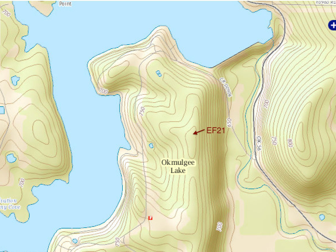
E21
SGP - Okmulgee, OK (Extended)
Established
18 August 1999
Removed
2 May 2019
Latitude
35.618339°
N
Longitude
96.065558°
W
Altitude
240 meters
Surface Type
Forest
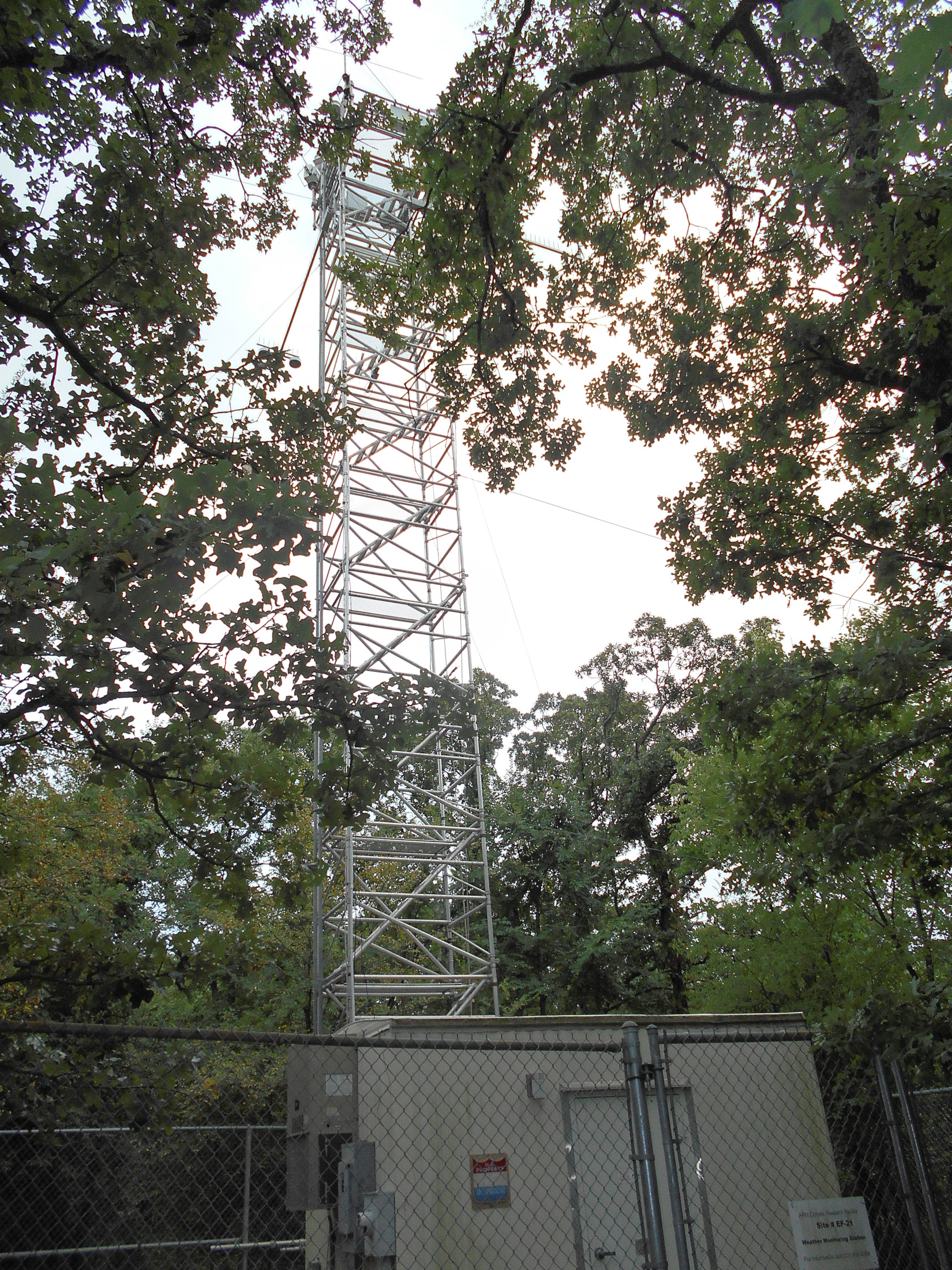
Instruments
6 (0
active)
Primary Measurement Types
22 (0 active)
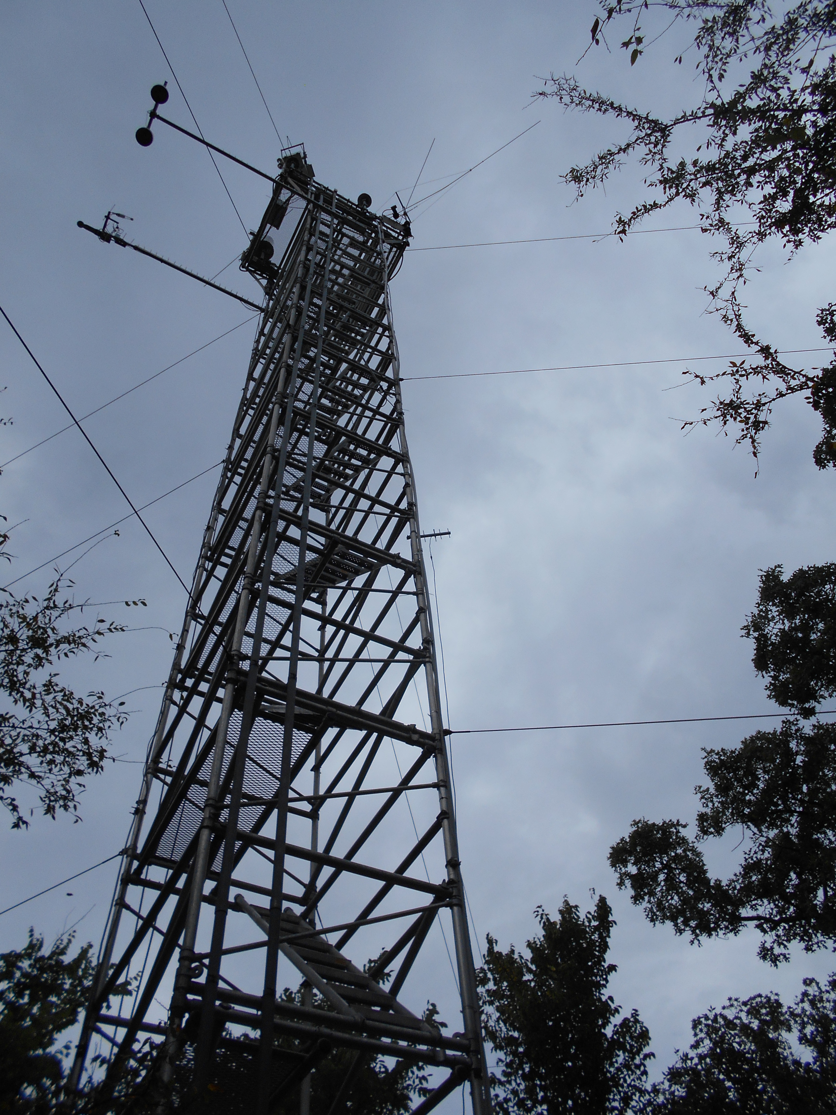
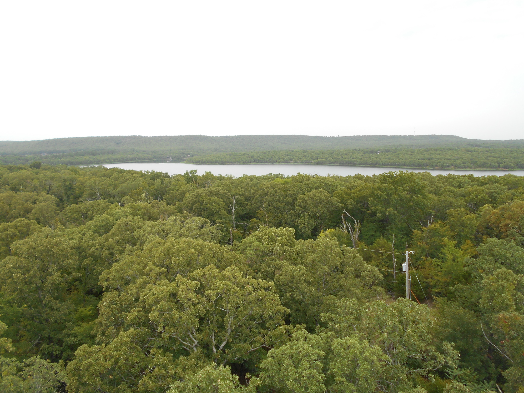
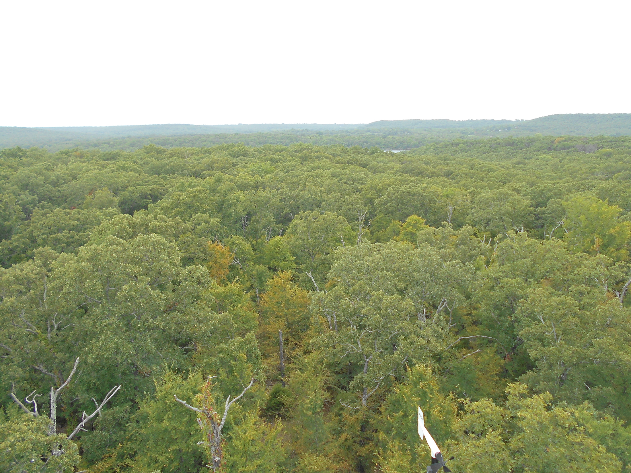
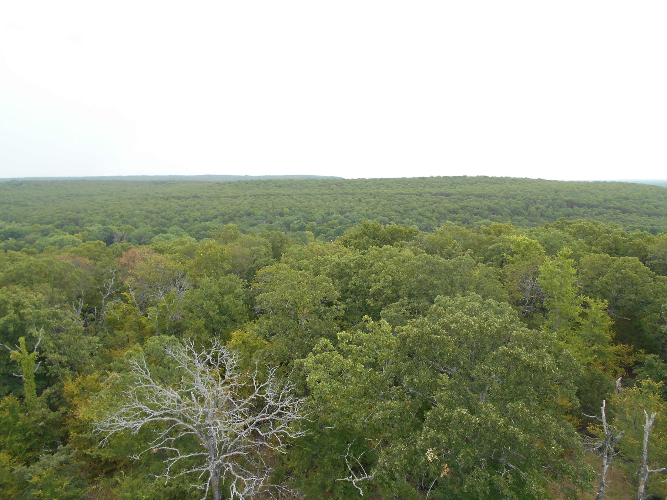
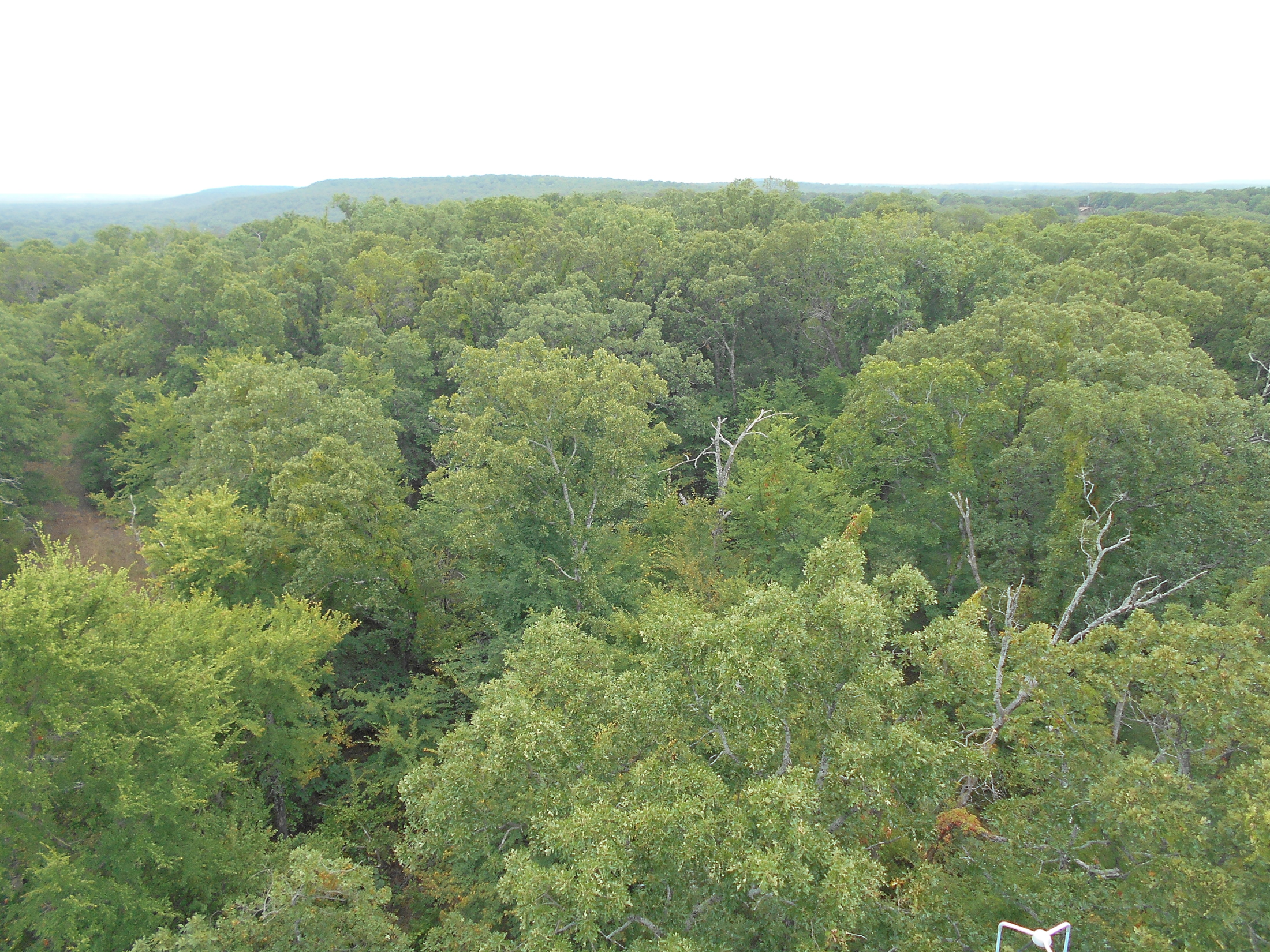
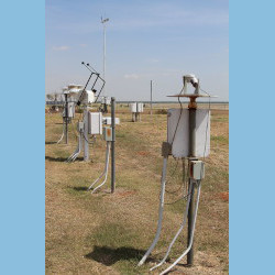
The E21 site is located near Okmulgee, Oklahoma, in the middle of a forest with the Okmulgee lake to its north.
Click to enlarge images.
 |
 |
 |
 |
 |
 |
 |
 |
|
Instruments deployed at SGP - Okmulgee, OK (Extended)
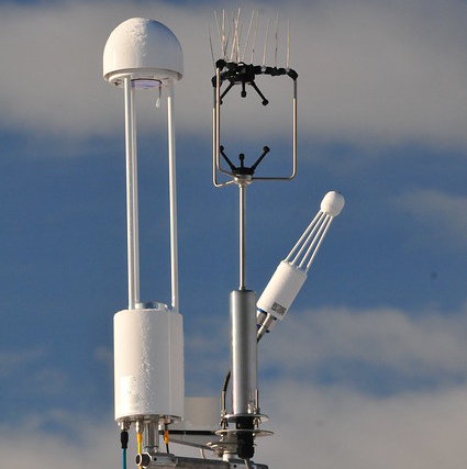

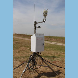
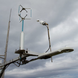
sirs
Solar and Infrared Radiation Station for Downwelling and Upwelling Radiation
1999-09-11 — 2019-05-02
Browse Data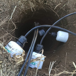
No instruments currently active
Primary Measurements collected at SGP - Okmulgee, OK (Extended)
Atmospheric moisture
Browse DataAtmospheric pressure
Browse DataAtmospheric temperature
Browse DataAtmospheric turbulence
Browse DataCarbon dioxide (CO2) concentration
Browse DataCarbon dioxide (CO2) flux
Browse DataHorizontal wind
Browse DataLatent heat flux
Browse DataLongwave broadband downwelling irradiance
Browse DataLongwave broadband upwelling irradiance
Browse DataLongwave narrowband brightness temperature
Browse DataNet broadband total irradiance
Browse DataPrecipitation
Browse DataSensible heat flux
Browse DataShortwave broadband diffuse downwelling irradiance
Browse DataShortwave broadband direct normal irradiance
Browse DataShortwave broadband total downwelling irradiance
Browse DataShortwave broadband total upwelling irradiance
Browse DataSoil heat flux
Browse DataSoil moisture
Browse DataSoil temperature
Browse DataSurface energy balance
Browse DataNo measurements currently active
Follow Us:


Keep up with the Atmospheric Observer
Updates on ARM news, events, and opportunities delivered to your inbox
ARM User Profile
ARM welcomes users from all institutions and nations. A free ARM user account is needed to access ARM data.


Atmospheric Radiation Measurement (ARM) | Reviewed
March 2025