

When a Maritime Continent Gets in the Way
Published: 15 April 2018
A New ARM Field Campaign Will Gather Data on Madden-Julian Oscillation Events
Skip a flat rock across a smooth pond and it will skim far and straight. Skip the rock into waves and it will juke around erratically.
Now imagine that rock is skipping across the Indian Ocean as the Madden-Julian Oscillation (MJO), an Alaska-size collection of precipitating clouds that forms periodically over the Indian Ocean.
And imagine it skips across the sea until it hits those “waves,” in this case an irregularly shaped barrier of marine islands called the Indo-Pacific Maritime Continent (MC).
The MC—Sumatra, Borneo, New Guinea, the Philippines, and other islands with their companion slivers of sea—interrupts those MJO cloud convection systems. They weaken, stall, stop, or (in about 25 percent of cases) shoot past, undiminished, into the Pacific Ocean.
When the immovable MC gets in the way of the moving MJO, it creates a barrier effect so different every time that scientists have problems modeling and predicting it.
That prediction barrier matters. The MJO gathers over the Indian Ocean in vast convective systems and moves slowly eastward, propagating storms and precipitation that significantly influence tropical meteorology and even global weather patterns.
The processes that govern the MJO present one of the major challenges in research on tropical weather and earth systems.
That challenge is especially acute for the millions living in the continent-size MC. Modeling and prediction difficulties with the MJO limit to a week or so the forecasting window for tropical cyclones, heat waves, floods, and other hazards that take lives and cost money.
Looking for Answers
Starting this fall, a new field campaign administered by the ARM Climate Research Facility, a U.S. Department of Energy (DOE) scientific user facility, may help unravel at least part of the problem of predicting the behavior of the MJO as it hits the barrier of the MC and erratically scatters its energy.
From September 1, 2018, to August 31, 2019, the Diurnal Cycle Interactions with Madden-Julian Oscillation Propagation (DIMOP) field campaign will collect in situ data that will enable the investigation of a factor that may hold the key to improved predictive models by eliminating one uncertainty.
DIMOP will test the idea that the diurnal cycle of cloudiness associated with heat fluxes over island land masses controls the strength of the MJO and how it is disrupted.
Specifically, DIMOP will vet the idea that the strength of the daily cycle and the disruption of the MJO depend on the net radiation flux reaching the surface of land masses, and how it is apportioned into sensible heat flux and surface evaporation. (Those are, in order, the heat we feel on our skin and the heat that funnels into the air in the form of vapor.)
The campaign’s hypothesis was first proposed in a 2016 paper led by Samson Hagos, DIMOP principal investigator and a scientist at Pacific Northwest National Laboratory (PNNL).
Present numerical models tend to exaggerate the MC’s disruption of the MJO, he says. But those exaggerations may be corrected by better understanding the processes that govern the MJO.
In turn, this understanding will overcome modeling and prediction difficulties that not only affect millions in the short term, but which can inform longer-term earth system models.
Working with Hagos as co-investigators on DIMOP are PNNL colleagues Zhe Feng, Laura Riihimaki, and Casey Burleyson, along with National Oceanic and Atmospheric Administration (NOAA) scientists Chidong Zhang and Charles N. (Chuck) Long.
Long was lead scientist on the 2011-2012 ARM MJO Investigation Experiment on Gan Island (AMIE-GAN). It was part of a coordinated series of field campaigns designed to test hypotheses regarding the mechanisms responsible for the initiation and propagation of the MJO in the Indian Ocean.
Data from the campaign, used in research funded largely by DOE’s Atmospheric System Research program, has so far informed an impressive 37 papers.
Land Surface Conditions
“The islands are so many and scattered,” says Hagos of the MC. (There are more than 13,000 in Indonesia alone.) But he and his DIMOP collaborators hypothesize that the land surface conditions, such as ground moisture, and the depth of the clouds over these land masses control the strength of the diurnal cycle over the MC.
These land conditions, they propose, determine the cycles of convection over the MC, and how and why MJO events stall, weaken, stop, or move on.
“The islands warm faster than the ocean,” says Hagos. This warming sets up a competition dynamic between influences of the land and the sea over moisture from the MJO. “We’ll show how strong that contrast is in a statistically robust way.”
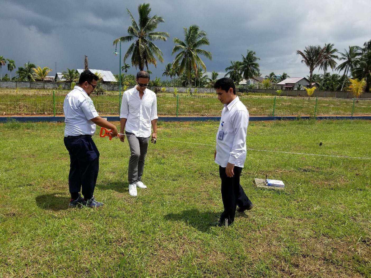
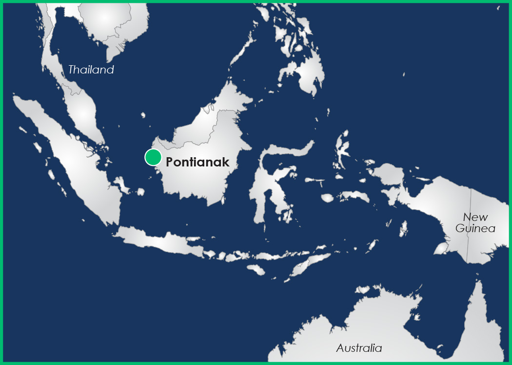
The DIMOP team will investigate its thesis by measuring the radiative and turbulent flux processes on a representative plot of land nearly on the equator, where land masses heat the fastest during daytime. DIMOP instruments will be placed at a climatological site run by Indonesia’s Meteorological, Climatological, and Geophysical Agency (BMKG) in Pontianak, Borneo Island, Indonesia. The port city of 550,000 is the world’s largest municipality directly on the equator.
The instrumentation, provided by ARM, includes devices that measure and record upwelling and downwelling radiation, eddy correlation fluxes, surface energy balance, the height of clouds, and rain intensity.
Prior to being packed into one seatainer and shipped overseas, these instruments are now being beta-tested at Los Alamos National Laboratory.
Just the Right Place
Hagos calls the Pontianak location ideal because of how it represents the natural environment in the MC, because of its amenities: power and internet connectivity, security (a fence and a guard), and proximity to an airport.
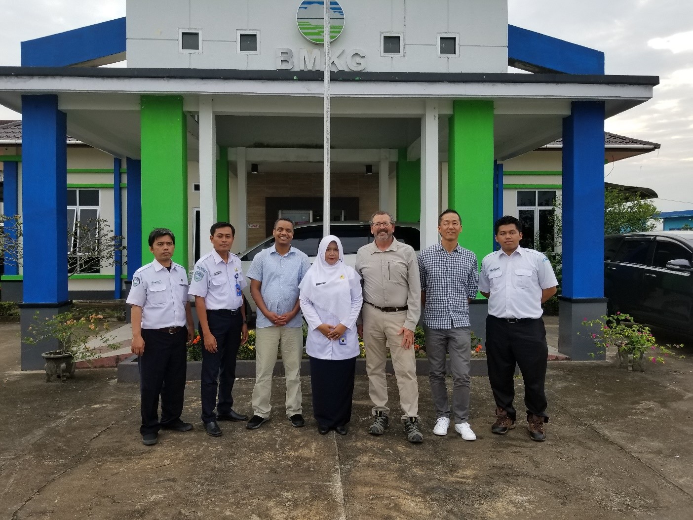
Thanks to BMKG, Pontianak also has built-in local science expertise. Free of charge, the agency will provide DIMOP with the site, technicians, power, and internet access for data transfer.
In return, the campaign’s Indonesian collaborators will learn how to operate the new instruments in case they acquire them in the future. They will also have access to DIMOP data for collaborative and independent research.
“The hope,” says Hagos of the island’s weather experts, “is that they will benefit—not only from the scientific outcome but also from building their human and technical capital.”
The Bigger Picture
The DIMOP hypothesis “is unique,” says Hagos, but it is not alone. The ARM effort is part of the Years of the Maritime Continent (YMC), a collaborative international field campaign unfolding from November 2017 through 2019.
YMC is aimed at understanding the barrier effect in order to close what scientists call the subseasonal-to-seasonal (S2S) prediction skill gap. That is the gap between predicting weather (increments of a week or less) and predicting climate (increments of three months or more).
Linking the predictive power of these two traditional ways of studying the atmosphere, weather, and earth systems (climate) would close the gap between that one week of predictability and those three months. In turn, forecasts of 90 days or more would be possible—the target of the YMC initiative, and a kind of holy grail for scientists and policymakers alike.
Closing the S2S gap will likely take years, says Hagos, and is only possible because of advances in high-performance computing.
Meanwhile, DIMOP is like a small Russian doll inside of a larger one (YMC). It addresses just one uncertainty within models that attempt to simulate the MJO and how it propagates.
YMC, which includes field campaigns at sea and in the air, addresses a broader range of uncertainties with a wider range of measurement capabilities over a longer time period.
“Knowing the weather even a month from now would be a big advance in terms of economies and public safety,” says Hagos. “So that’s the hope—to close that gap.”
The ARM Climate Research Facility is a DOE Office of Science user facility. The ARM Facility is operated by nine DOE national laboratories.
Follow Us:


Keep up with the Atmospheric Observer
Updates on ARM news, events, and opportunities delivered to your inbox
ARM User Profile
ARM welcomes users from all institutions and nations. A free ARM user account is needed to access ARM data.


