
New and Improved ARM Broadband Radiation Data Now Available
Published: 25 July 2023
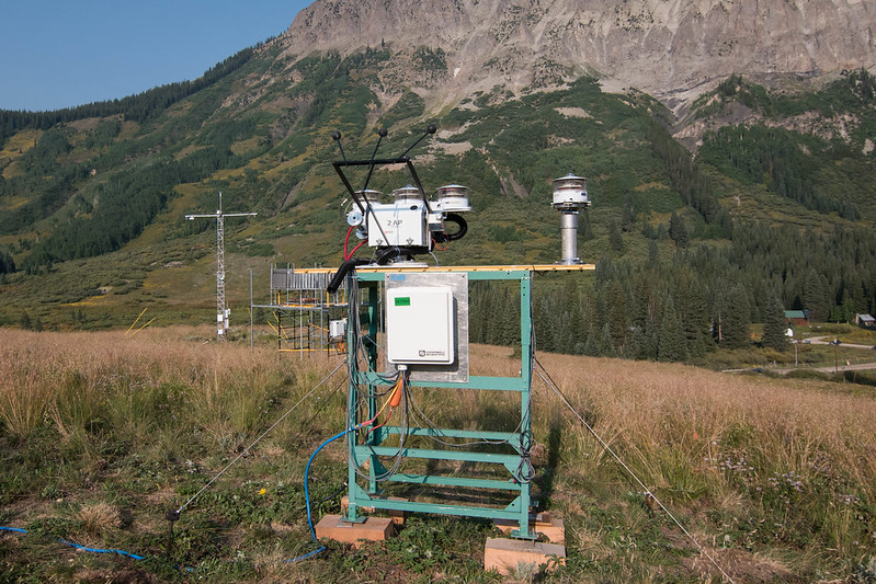
The Atmospheric Radiation Measurement (ARM) user facility’s longtime recommended datastream for broadband surface irradiance measurements is Data Quality Assessment for ARM Radiation Data (QCRAD). The QCRAD value-added product (VAP) is now available for the 2021–2023 Surface Atmosphere Integrated Field Laboratory (SAIL) campaign near Crested Butte, Colorado.
In addition, ARM produced new level 2 (c2) QCRAD files for all three of its fixed-location atmospheric observatories. These files underwent additional processing to improve the data. The new c2-level data are available from the following sites and date ranges:
- the Eastern North Atlantic observatory (Graciosa Island, Azores, Portugal) from August 21, 2021, to October 28, 2022
- the North Slope of Alaska observatory (Utqiaġvik, Alaska) from July 16, 2021, to August 20, 2022
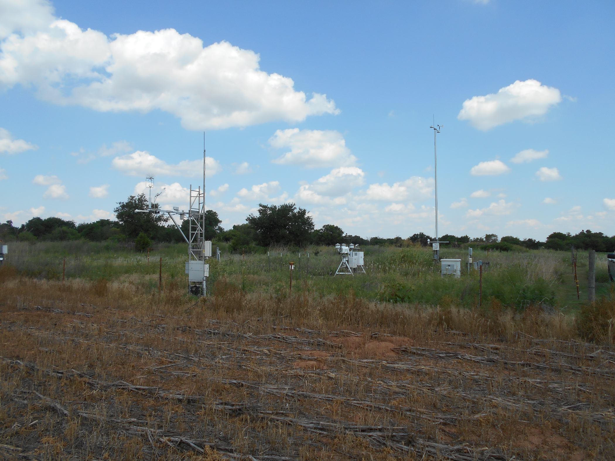
- Southern Great Plains (SGP) extended facility E9 (Ashton, Kansas) from July 10, 2021, to August 3, 2022
- SGP E11 (Byron, Oklahoma) from July 7, 2021, to August 4, 2022
- SGP E12 (Pawhuska, Oklahoma) from July 9, 2021, to August 2, 2022
- SGP E13 (Lamont, Oklahoma) from July 16, 2021, to August 9, 2022
- SGP E15 (Ringwood, Oklahoma) from July 13, 2021, to August 8, 2022
- SGP E31 (Anthony, Kansas) from July 20, 2021, to September 21, 2021, when site operations ceased
- SGP E32 (Medford, Oklahoma) from July 10, 2021, to August 4, 2022
- SGP E33 (Newkirk, Oklahoma) from August 5, 2021, to August 1, 2022
- SGP E34 (Maple City, Kansas) from August 4, 2021, to August 8, 2022
- SGP E35 (Tryon, Oklahoma) from July 29, 2021, to August 5, 2022
- SGP E36 (Marshall, Oklahoma) from July 29, 2021, to August 1, 2022
- SGP E37 (Waukomis, Oklahoma) from July 30, 2021, to August 2, 2022
- SGP E38 (Omega, Oklahoma) from June 30, 2020, to June 7, 2021, when site operations ceased
- SGP E39 (Morrison, Oklahoma) from July 28, 2021, to August 5, 2022
- SGP E40 (Pawnee, Oklahoma) from July 28, 2021, to August 9, 2022
- SGP E41 (Peckham, Oklahoma) from August 5, 2021, to August 2, 2022.
- the broadband radiometer station at the SGP Central Facility (Lamont, Oklahoma) from September 9, 2021, to August 9, 2022.
QCRAD processing for fixed sites involves two steps. During c1-level operational processing, QCRAD applies a generic correction to the shortwave downwelling hemispheric flux to correct for infrared loss within the unshaded pyranometer. The c1 processing also applies multiple data quality checks and calculates a best-estimate total downwelling shortwave irradiance value.
The c2-level processing, performed yearly, replaces the generic correction with a more detailed correction that uses infrared loss corrections derived for the specific instruments. This correction will affect the output of the downwelling shortwave values for those occasions where the sum of the direct plus diffuse shortwave is not available as the “best estimate” for downwelling shortwave. When c2 files are available, they should be used.
For the SAIL mobile deployment, QCRAD ran after the campaign ended in June, generating c2-level files that contain 1-minute radiation measurement fields and their quality control values.
Please note: SAIL took place in mountainous terrain, and complex terrain is known to have impacts on albedo measurements. The SAIL QCRAD data do not correct for complex terrain.
More information is available on the QCRAD web page. To share your experience using the data or to ask a question, contact ARM translator Damao Zhang.
Access the new QCRAD data in the ARM Data Center. (Go here to request an account to download the data.)
To cite the QCRAD broadband radiometer station data (qcradbrs1long), please use doi:10.5439/1227217. For the other QCRAD data (qcrad1long), please use doi:10.5439/1227214.
Follow Us:


Keep up with the Atmospheric Observer
Updates on ARM news, events, and opportunities delivered to your inbox
ARM User Profile
ARM welcomes users from all institutions and nations. A free ARM user account is needed to access ARM data.


