

ARM Uncrewed Aerial System Takes Flight Over Oregon, Oklahoma
Published: 20 April 2023
ArcticShark collects data during first Southern Great Plains deployment of 2023
On a bright, sunny February morning outside of Pendleton, Oregon, a hum could be heard. Then off in the distance, above the snow-capped Blue Mountains on the horizon, a tiny dot came into focus.
The hum grew to a low roar as, 500 feet above, the ArcticShark uncrewed aerial system (UAS) approached and flew overhead. Inside the UAS, an assortment of instruments was capturing a wealth of data for the Atmospheric Radiation Measurement (ARM) user facility.
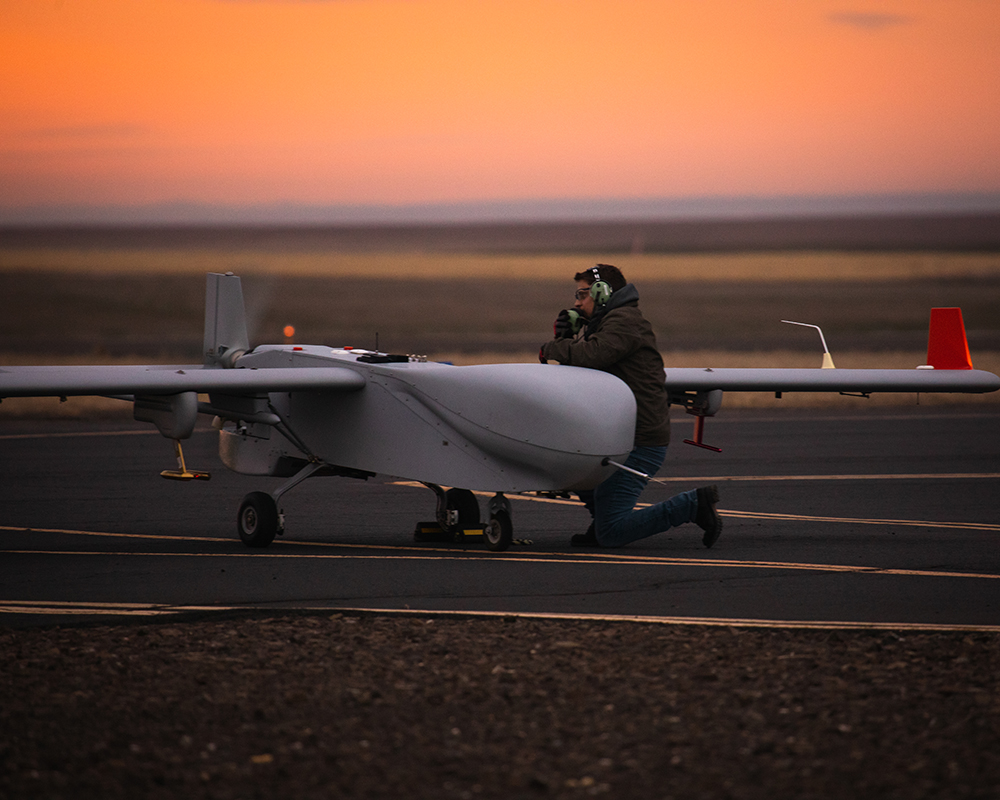
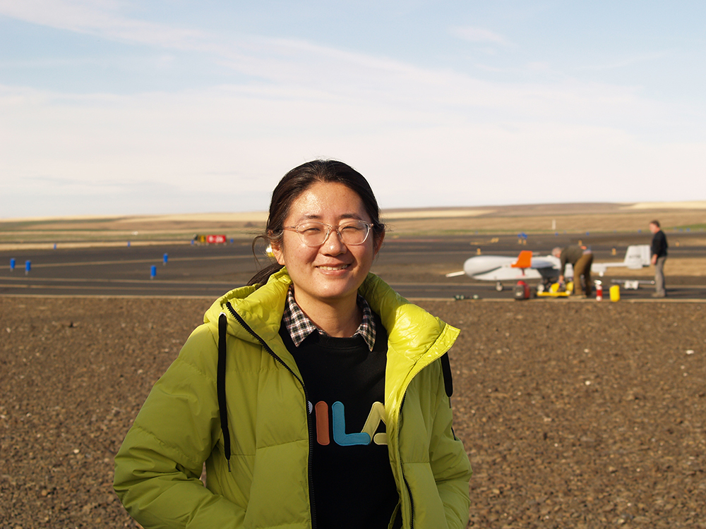
A few hours later, the ArcticShark—operated by the ARM Aerial Facility (AAF)—landed at the Pendleton UAS Range. Remote pilots and ARM staff scientists emerged from the AAF’s Mobile Operations Center, satisfied with another successful flight.
A fixed-wing vehicle with a 22-foot wingspan and a maximum gross weight of 650 pounds, the ArcticShark is rated to fly at altitudes up to 18,000 feet and long flight durations of up to eight hours. The ArcticShark is piloted remotely from the ground and can be programmed to fly precise patterns while combing the air for data on temperature, air pressure, trace gases, aerosols, and more.
From January 31 to February 10, 2023, the AAF team clocked 21 hours of flight time in Oregon, building pilot proficiency in low-level flight operations and practicing flight patterns for a multispectral imagery sensor. The deployment also provided valuable training for technicians and an opportunity to train more visual observers—people on the ground who keep an eye on the UAS and alert the pilots of potential issues, such as unexpected aircraft in the vicinity.
According to AAF UAS operations lead Pete Carroll, the Oregon flights also mirrored the AAF’s next UAS mission with flight plans 10 to 12 nautical miles from the airport. “We had a tremendous week in Pendleton,” he says. “It was a great dress rehearsal for our next mission in Oklahoma.”
Mining Data From Oklahoma Skies
Following the success in Oregon, the team packed up the ArcticShark for the first 2023 deployment at ARM’s Southern Great Plains (SGP) atmospheric observatory in Oklahoma.
“From an operational perspective, it went really well at SGP,” Carroll says of the flights from March 6 to 25. “We were able to put nearly 30 hours in the air.”
During the flights, the ArcticShark collected atmospheric measurements to build data sets that scientists worldwide can use.
According to AAF science lead Fan Mei, the current instrument payload provides data in four categories:
- meteorological variables, such as humidity, temperature, ambient pressure, and three-dimensional (3D) wind components
- aerosol physical, chemical, and optical properties, such as aerosol concentration, size distribution, and chemical composition
- trace gases, including carbon dioxide and water concentration
- remote-sensing capabilities, such as infrared temperature and multispectral imagery (captures image data in red, green, blue, red edge, and near-infrared; retrievals from those images provide rich vegetation and landscape information, which can be used for crop health mapping, plant classification, and water management, informing studies of land-atmosphere-cloud interactions).
Data from the SGP deployment are now freely available in the ARM Data Center.
“All the hard work and dedication to training directly led to the success of the March flight operation.”
Pete Carroll, ARM Aerial Facility uncrewed aerial system operations lead
While Carroll and the AAF operations team executed flight plans, ARM mission scientists in the Mobile Operations Center watched live atmospheric data creep across computer screens. They also assisted remote pilots who directed the UAS to atmospheric areas of interest, which included identifying the top of the planetary boundary layer in real time based on data collected and then flying legs above, within, and at the top of the boundary layer.
Mei says that the March deployment was an exceptional opportunity to study atmospheric processes during the change of seasons.
“Our flights at SGP were very successful,” says Mei. “We achieved all our science goals for the March mission, including practicing profiling patterns. In addition, we were able to collect data related to boundary-layer development with high-resolution sensors, which helped us document a lot of turbulence variations within the boundary layer.”
According to Mei, the March flights generated data sets to characterize the transition of seasons from winter to spring. Deployments at the SGP later this year will capture the spring-summer transition in June and summer in August. Combined, the three deployments will create comparable data sets as the year progresses.
“All the hard work and dedication to training directly led to the success of the March flight operation,” says Carroll.
ArcticShark Sparks Media Interest
As the SGP deployment neared completion, ARM heard from a TV news team in Tulsa, Oklahoma—more than 100 miles from the ArcticShark’s temporary home at the Blackwell-Tonkawa Municipal Airport near the SGP.
The reporters wanted to learn more about the ArcticShark and ARM’s mission in Oklahoma.
Watch the resulting news story featuring Carroll and AAF Manager Beat Schmid.
Follow Us:


Keep up with the Atmospheric Observer
Updates on ARM news, events, and opportunities delivered to your inbox
ARM User Profile
ARM welcomes users from all institutions and nations. A free ARM user account is needed to access ARM data.


