

Argonne Lends a Hand Toward Climate and Weather Understanding
Published: 30 October 2019
DOE user facility provides detailed weather and climate pattern data for more accurate prediction models
This is a feature story published by Argonne National Laboratory and shared with permission.
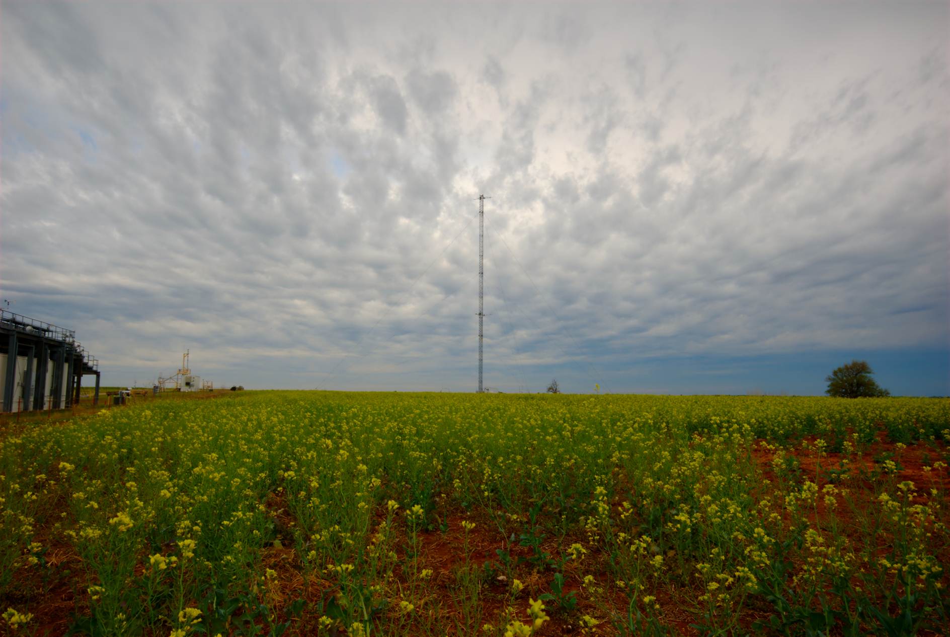
On summer evenings, high above the surface of the southern Great Plains, a phenomenon occurs that contributes significantly to the climate dynamics of the region. Called low-level jets, these winds can reach speeds upward of 55 mph, and they play a role in the transport of heat and moisture into the region and contribute to the development of tornadoes and the generation of wind energy.
Obtaining continual profiles of wind, temperature and humidity associated with these low-level jets is important to improve the accuracy of atmospheric models like the National Oceanic and Atmospheric Administration’s (NOAA) High-Resolution Rapid Refresh model, which provides forecasts associated with hazardous weather.
NOAA and similar organizations around the world rely on the Atmospheric Radiation Measurement (ARM) user facility to provide these types of long-term observations of the atmosphere—whether in Oklahoma or Oliktok Point, Alaska. Sponsored by the U.S. Department of Energy (DOE) Office of Science, ARM’s mission is to advance our understanding of cloud, aerosol, precipitation and radiation processes and provide the data to better represent these phenomena in global-scale models.
ARM serves as an exemplary illustration of DOE collaboration. Nine DOE national laboratories, including Argonne National Laboratory, are involved in the operation or management of three fixed and three mobile atmospheric observatories, as well as the operation and maintenance of 400 meteorological instruments, and an aerial facility that includes a plane and unmanned aerial systems.
“I think the benefits of such a large collaboration are the domain expertise at the various laboratories, as well as regional expertise,” said James Mather, ARM technical director at Pacific Northwest National Laboratory. ”And with ARM, there’s an opportunity to leverage the capabilities of each laboratory. I’m very proud of how the whole thing comes together,” he added. “The ARM facility is often held up as how a multi-laboratory program can function.”
Read the full feature on the Argonne National Laboratory website.
Follow Us:


Keep up with the Atmospheric Observer
Updates on ARM news, events, and opportunities delivered to your inbox
ARM User Profile
ARM welcomes users from all institutions and nations. A free ARM user account is needed to access ARM data.


