
Bird’s Eye View of the Arctic
Published: 22 July 2018
Scientists develop unmanned aerial systems for research in the Arctic
This is a feature story published by the Cooperative Institute for Research in Environmental Sciences and shared with permission.
Unmanned aerial systems (UAS) can cost-effectively collect weather data in harsh or remote environments and contribute to better weather and climate models, according to a new study by researchers at the Cooperative Institute for Research in Environmental Sciences (CIRES) and the National Oceanic and Atmospheric Administration (NOAA).
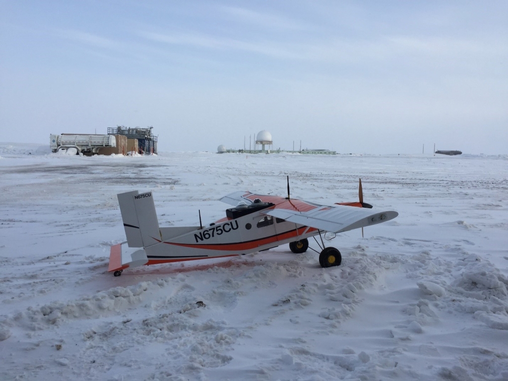
Unmanned aircraft and instrument-bearing tethered balloon systems—collectively known as UAS—are helping fill in critical data gaps over difficult-to-sample surfaces in the Arctic, including newly forming sea ice and partially frozen tundra.
“We’re showing that we have the ability to deploy unmanned aircraft and tethered balloon systems routinely in a very harsh environment for targeted field campaigns. We’re also supporting development efforts to make these technologies available to the broader scientific community,” says Gijs de Boer, a CIRES researcher working in NOAA’s Earth System Research Laboratory and lead author of the paper, published June 27 in the Bulletin of the American Meteorological Society. De Boer is also the Atmospheric System Research science lead for the Atmospheric Radiation Measurement (ARM) user facility efforts at Oliktok Point, Alaska.
Communities, businesses, and governments around the world need accurate and timely forecasts for planning and safety. One key to improving forecast models is obtaining additional data, especially lacking in remote locations such as the Arctic. This research, a collaboration between CIRES and NOAA scientists, along with U.S. Department of Energy (DOE) and university partners, was designed to investigate whether UAS and other unmanned technologies can complement and enhance more conventional ways of gathering atmospheric data.
In the new study, the researchers found that UAS can help fill data gaps and are well-suited for routine flights in the Arctic. And because of the work done by ARM, in partnership with de Boer and his colleagues, to develop these state-of-the-art unmanned technologies, ARM is now accepting proposals from atmospheric scientists to deploy UAS at its research sites.
Since 1997, ARM has collected measurements of clouds, aerosols, atmospheric state, and radiation at its North Slope of Alaska site near Utqiaġvik (formerly known as Barrow). Additional measurements have been taken at Atqasuk (approximately 60 miles inland from Utqiaġvik) and Oliktok Point (another coastal site, 165 miles to the southwest of Utqiaġvik). These observatory-based measurements have helped scientists better understand the Arctic’s natural system.
De Boer, along with CIRES, NOAA, and ARM colleagues, will head back to Alaska’s North Slope later this summer for another field campaign. As part of the World Meteorological Organization’s and the World Climate Research Programme’s Year of Polar Prediction, the researchers will use unmanned aircraft and tethered balloons to observe and model the arctic lower atmosphere at the DOE Oliktok Point site. They’re also teaming up with the University of Alaska, Fairbanks, and partners to take UAS measurements over the Arctic Ocean to better understand how wind influences ocean mixing.
The ARM Climate Research Facility is a DOE Office of Science user facility. The ARM Facility is operated by nine DOE national laboratories.
Follow Us:


Keep up with the Atmospheric Observer
Updates on ARM news, events, and opportunities delivered to your inbox
ARM User Profile
ARM welcomes users from all institutions and nations. A free ARM user account is needed to access ARM data.


