

Winter Wheat at Southern Great Plains Provides Bounty of Research Opportunities
Published: 13 July 2017
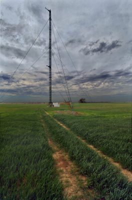
The ARM Facility’s Southern Great Plains (SGP) atmospheric observatory is playing a key role in the quest to accurately represent winter wheat in land-surface models. Winter wheat accounts for more than 70 percent of total U.S. wheat production and is a prominent crop in the Great Plains region.
Winter wheat is planted in the fall and harvested in May or June—a very different growing cycle than summer crops or grasses. Near-surface air is cooler and more moist over Oklahoma’s winter wheat belt than over nearby grassland.
“Winter wheat’s growing cycle makes it particularly interesting and unsuitable for the generic crop types that are used in many land-surface models,” says researcher Justin Bagley, who has studied winter wheat at Lawrence Berkeley National Laboratory (LBNL).
In research recently published in Geoscientific Model Development, an LBNL team modified the winter wheat model in the Community Land Model to improve simulations of winter wheat leaf area index, latent heat flux, net ecosystem exchange of carbon dioxide, and grain yield.
The modified model—validated at eight other North American sites—accurately simulated the year-to-year change in yield at the SGP site. Researchers reported in the paper that “the new winter wheat model improved the prediction of monthly variation in leaf area index, reduced latent heat flux, and net ecosystem exchange root mean square error (RMSE) by 41 and 35 percent during the spring growing season.”
These improvements are important for accurately predicting the energy and water cycles in earth system models.
Says lead author Yaqiong Lu: “At other agronomic sites, they measure other crop observations, but they don’t have the flux measurements. They can’t tell how the crop influences the atmosphere.”
Meanwhile, a paper recently published by Journal of Geophysical Research: Atmospheres discusses research on how land cover influences surface energy balance and the variables involved in evaporative fraction (a ratio of latent heat flux to the sum of sensible and latent heat fluxes).
“This early summer harvest of winter wheat leads to mid-summer surface conditions that are very different in green-growing grassland versus bare fields in winter wheat locations,” says Bagley, the lead author of that paper. “As a result, the partitioning of energy being transferred from the land to the atmosphere as sensible and latent heat fluxes (and the variables controlling these fluxes of energy) is very different at winter wheat relative to other land covers in the region.”
LBNL and University of Nebraska-Lincoln scientists pored over observations from the SGP observatory, some of which have existed for more than a decade.
Says Bagley: “The long period that these observations were available, and the spatial distribution of the sites enabled us to make confident conclusions about the impacts of land cover in the SGP on the partitioning of surface energy, and be confident that the winter wheat model we developed was accurate under a variety of conditions.”
The ARM Climate Research Facility is a DOE Office of Science user facility. The ARM Facility is operated by nine DOE national laboratories.
Follow Us:


Keep up with the Atmospheric Observer
Updates on ARM news, events, and opportunities delivered to your inbox
ARM User Profile
ARM welcomes users from all institutions and nations. A free ARM user account is needed to access ARM data.


