

Aerosol Optical Depth Data Updated for Azores, Macquarie Island
Published: 21 October 2021
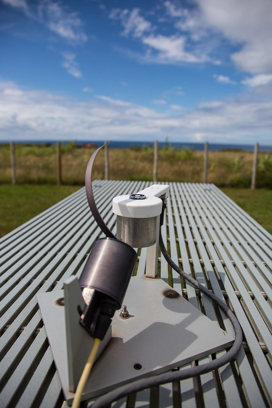
Aerosol optical depth (AOD) is the measure of the total aerosol burden in a vertical column of the atmosphere. The AOD value-added product (VAP) has been running autonomously in production to derive AOD from direct normal irradiance measured by multifilter rotating shadowband radiometers (MFRSRs) at the Atmospheric Radiation Measurement (ARM) user facility’s ground-based sites. This VAP uses estimates of top-of-atmosphere irradiance—known as I-naught (Io) values—that are generated by an automated algorithm using a technique known as Langley extrapolation. The values are calculated from multiple repeated clear-sky measurements at different sun angles and represent the Langley calibrations for the radiometer. Several downstream VAPs, such as Cloud Optical Properties from the MFRSR (MFRSRCLDOD), also use the generated Io values as input.
Autonomous Langley calibrations, which are designed to generate Io values on a quasi-continuous basis from the MFRSR measurements, have exhibited excellent performance at many ARM sites worldwide. However, these calibrations typically fail at sites that are frequently cloudy. Such sites include ARM’s Eastern North Atlantic (ENA) atmospheric observatory in the Azores and Macquarie Island, where ARM managed the 2016–2018 Macquarie Island Cloud and Radiation Experiment (MICRE).
To generate robust Io values for the ENA and the Macquarie Island deployment, cloud-contaminated points were removed by manual inspection. The robustness of the generated Io values is demonstrated at the ENA by comparing AODs derived from co-located MFRSR and ARM sunphotometer measurements, the latter processed by AERONET. There is a strong overlap between the time series of the coincident MFRSR and AERONET-processed sunphotometer AODs.
New Io values have been generated for the ENA from January 1, 2016, to January 25, 2020, and for Macquarie Island from April 1 to December 31, 2016. The corresponding AOD-MFRSR data have been processed with the new Io values and are now available.
The limited temporal coverage of the Io values generated for Macquarie Island is attributed mostly to data quality issues observed in the post-2016 MICRE MFRSR data.
Ongoing work is aimed at generating Io values and the corresponding MFRSR AODs for an extended period at the ENA and other locations with abundant clouds.
Access the AOD-MFRSR data from the ENA and Macquarie Island in the ARM Data Center. (Go here to create an account to download the data.)
More information about AOD-MFRSR can be found on the VAP web page. For questions or comments about the data, please contact Evgueni Kassianov or ARM translator John Shilling.
To cite the AOD-MFRSR VAP data, please use doi:10.5439/1356805.
Follow Us:


Keep up with the Atmospheric Observer
Updates on ARM news, events, and opportunities delivered to your inbox
ARM User Profile
ARM welcomes users from all institutions and nations. A free ARM user account is needed to access ARM data.


