

New Radiation Data Quality VAP Release Available for Southern Great Plains Extended Facilities
Published: 18 October 2019
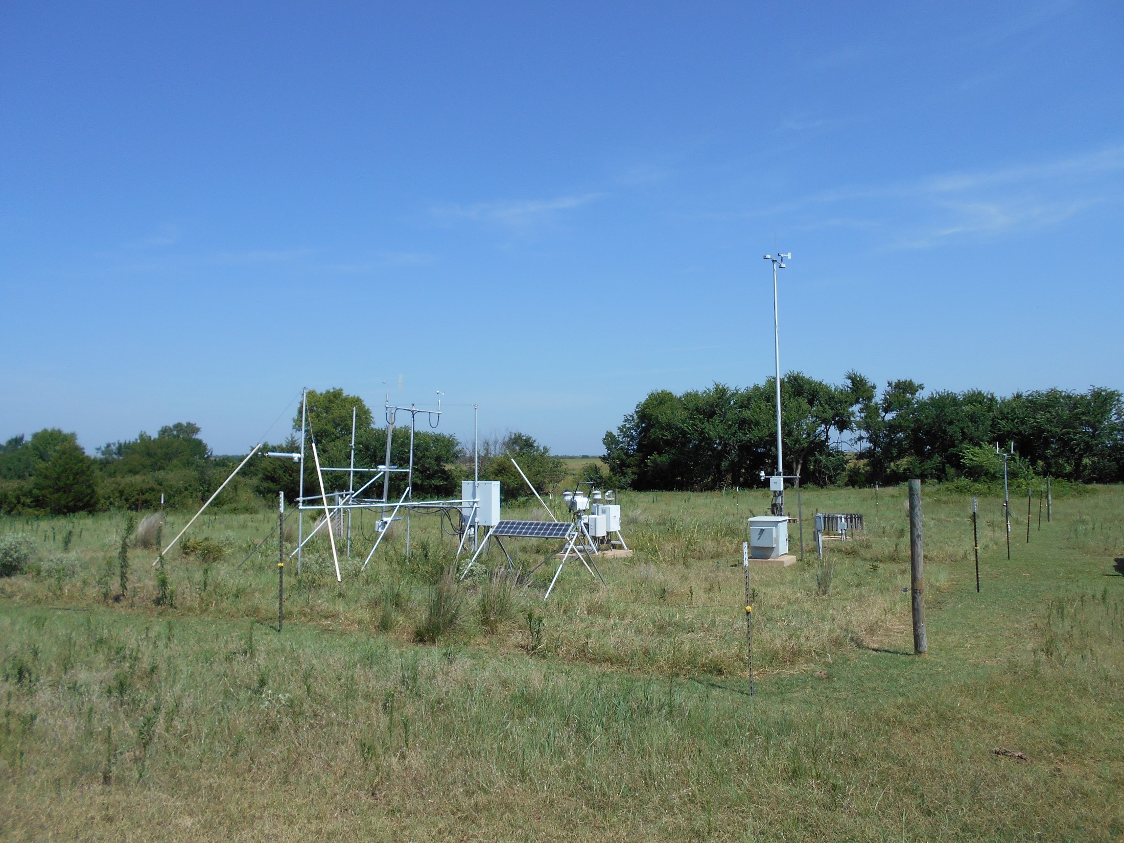
A new level 2 (c2/s2) release of the Data Quality Assessment for ARM Radiation Data (QCRAD) value-added product (VAP) is now available for eight extended facilities at the Atmospheric Radiation Measurement (ARM) user facility’s Southern Great Plains atmospheric observatory. This release covers the following extended facilities and date ranges:
- E31 (Anthony, Kansas) from June 28, 2017, to May 29, 2018
- E32 (Medford, Oklahoma) from July 27, 2016, to June 13, 2019
- E33 (Newkirk, Oklahoma) from July 30, 2016, to June 18, 2019
- E34 (Maple City, Kansas) from July 28, 2016, to July 23, 2018
- E35 (Tryon, Oklahoma) from July 21, 2016, to June 24, 2019
- E38 (Omega, Oklahoma) from July 20, 2016, to August 2, 2018
- E39 (Morrison, Oklahoma) from July 23, 2016, to July 31, 2018
- E40 (Pawnee, Oklahoma) from July 20, 2017, to July 31, 2018.
QCRAD has long been ARM’s recommended datastream for broadband surface irradiance measurements. The QCRAD VAP was developed to assess quality of and enhance continuity for the ARM radiation data collected at all ARM central and extended facilities. The QCRAD methodology uses climatological analyses of the surface radiation measurements to define reasonable limits for testing the data for unusual values. QCRAD applies multiple data quality checks, corrects for errors due to infrared loss in shortwave (SW) radiometric measurements, and calculates a best-estimate total downwelling SW irradiance value.
The QCRAD VAP produces two daily files containing 1-minute radiation measurement fields and their quality control (QC) values. The *.c1 file—the asterisk represents the datastream name—includes auxiliary information and detailed qc flags. The *.s1 summary file includes a simplified version of the qc flags and fewer auxiliary data values.
During operational processing, the QCRAD VAP applies a generic correction to the downwelling SW hemispheric flux to correct for infrared loss within the radiometer. This operational processing produces .c1 and .s1, or level 1, datastreams.
On a yearly basis, a more detailed correction that uses infrared loss corrections derived for the specific instruments—rather than the generic correction—is applied. This yearly processing produces .c2 and .s2, or level 2, datastreams. This correction will affect the output of the downwelling SW values when the sum of the direct plus diffuse SW is not available as the best estimate for downwelling SW. When *.c2 and *.s2 files are available, they should be used.
Scientists can use the new QCRAD data now. Yearly processing for remaining ARM fixed sites will follow. To share your experience—such as how you use the data and how well it works for you—or to ask a question, contact Josh Howie.
More information on QCRAD is available on the VAP web page. To access the new QCRAD Southern Great Plains data, go to the ARM Data Center. (Go here to request an account).
To cite the QCRAD data, please use doi:10.5439/1027372.
Follow Us:


Keep up with the Atmospheric Observer
Updates on ARM news, events, and opportunities delivered to your inbox
ARM User Profile
ARM welcomes users from all institutions and nations. A free ARM user account is needed to access ARM data.


