

Radiation Data Quality VAP Expands to LASIC Field Campaign Site
Published: 19 March 2019
A new release for the Data Quality Assessment for ARM Radiation Data (QCRAD) value-added product (VAP) covers the mobile deployment to Ascension Island for the Layered Atlantic Smoke Interactions with Clouds (LASIC) field campaign.
QCRAD has long been the Atmospheric Radiation Measurement (ARM) user facility’s recommended datastream for broadband surface irradiance measurements. The QCRAD methodology uses climatological analyses of the surface radiation measurements to define reasonable limits for testing the data for unusual values. QCRAD applies multiple data quality checks, corrects for errors due to infrared loss in shortwave (SW) radiometric measurements, and calculates a best-estimate total downwelling SW irradiance value.
The QCRAD VAP produces two daily files containing 1-minute radiation measurement fields and their quality control (QC) values. The *.c2 file—the asterisk represents the datastream name—includes auxiliary information and detailed qc flags. The *.s2 summary file includes a simplified version of the qc flags and fewer auxiliary data values.
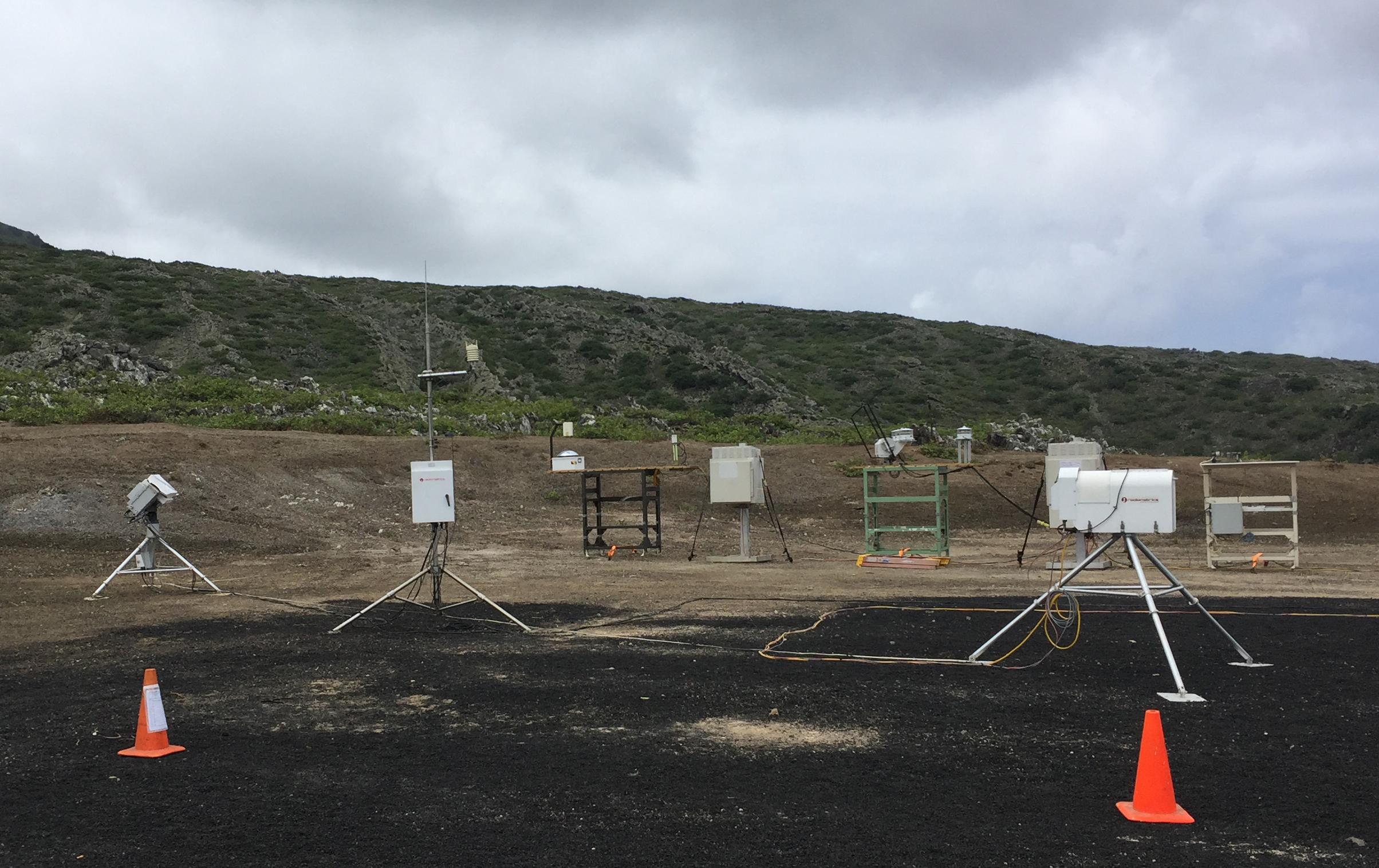
The latest QCRAD release includes all level 2 (c2/s2) data from LASIC, which took place from June 2016 to October 2017 on Ascension Island in the South Atlantic Ocean. Data from the island are available from May 5, 2016, to November 1, 2017. The *.c2/*.s2 files use instrument-specific calibration and characterization, and are run at ARM Mobile Facility deployments after the campaign is completed.
During operational processing, the QCRAD VAP applies a generic correction to the downwelling SW hemispheric flux to correct for infrared loss within the radiometer. On a yearly basis, a more detailed correction that uses infrared loss corrections derived for the specific instruments—rather than the generic correction—is applied. This correction will affect the output of the downwelling SW values when the sum of the direct plus diffuse SW is not available as the best estimate for downwelling SW.
Scientists can use the new QCRAD data from Ascension Island now. To share your experience—such as how you use the data and how well it works for you—or to ask a question, contact Josh Howie.
More information on QCRAD is available on the VAP web page. To access these data, go to the ARM Data Center. (Go here to request an account.)
To cite the QCRAD data, please use doi:10.5439/1027372.
Follow Us:


Keep up with the Atmospheric Observer
Updates on ARM news, events, and opportunities delivered to your inbox
ARM User Profile
ARM welcomes users from all institutions and nations. A free ARM user account is needed to access ARM data.


