

ARM Cloud Radar-Remote Sensing Evaluation Data Available for LASIC Campaign
Published: 20 August 2018
Evaluation data for the W-Band ARM Cloud Radar-Active Remote Sensing of Clouds (WACR-ARSCL) value-added product are now available for the ARM Mobile Facility deployment to Ascension Island for the Layered Atlantic Smoke Interactions with Clouds (LASIC) field campaign.
Data from the South Atlantic Ocean field campaign are available from October 2016 to February 2017.
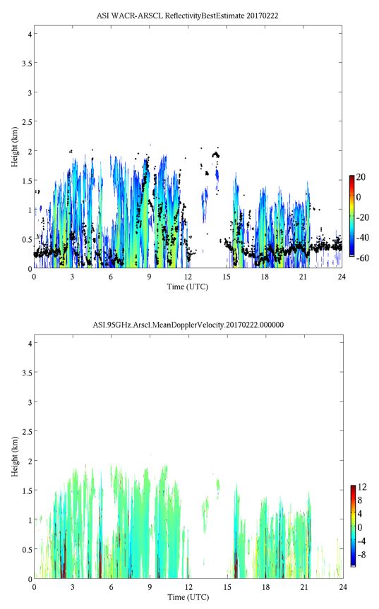
WACR-ARSCL provides cloud boundaries and best-estimate time-height fields of radar moments. WACR observations are corrected for velocity aliasing, then significant detection masks are produced. The corrected WACR measurements are combined with observations from the micropulse lidar, ceilometer, soundings, rain gauge, and microwave radiometer, low-level clutter is identified and removed, and two datastreams are produced.
The asiarsclwacrbnd1kolliasM1.c1 datastream contains cloud base and cloud layer boundaries, while the asiarsclwacr1kolliasM1.c1 datastream includes best-estimate time-height fields of radar moments.
More information on the evaluation data is available in the README file that accompanies the data files in the ARM evaluation area.
During this evaluation period, please send any comments and suggestions related to the product to Meng Wang, data product developer. Such feedback will assist in improving the product before its full release.
Users can access the data set from the ARM Data Center. (Go here to create an account to download the data.)
The ARM Climate Research Facility is a DOE Office of Science user facility. The ARM Facility is operated by nine DOE national laboratories.
Follow Us:


Keep up with the Atmospheric Observer
Updates on ARM news, events, and opportunities delivered to your inbox
ARM User Profile
ARM welcomes users from all institutions and nations. A free ARM user account is needed to access ARM data.


