

Detecting the unseen forces controlling thunderstorm formation
Submitter
Fast, Jerome D
— Pacific Northwest National Laboratory
Area of Research
Cloud Distributions/Characterizations
Journal Reference
Marquis J, A Varble, P Robinson, T Nelson, and K Friedrich. 2021. "Low-Level Mesoscale and Cloud-Scale Interactions Promoting Deep Convection Initiation." Monthly Weather Review, 149(8), 10.1175/MWR-D-20-0391.1.
Science
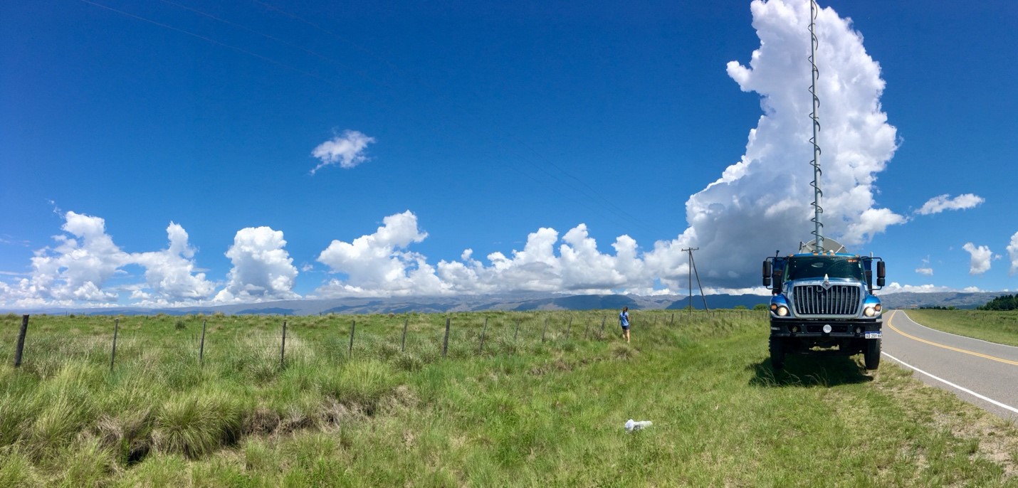
Figure 1. A Doppler on Wheels mobile weather radar collects data researchers use to understand the structure of clouds that grow into deep thunderstorms storms over Argentina’s Sierras de Córdoba range.
Image by Manikandan Rajagopal|The University of Utah
The mountains of central Argentina generate some of the most intense thunderstorms in the world. Using weather radars, researchers with the U.S. Department of Energy's Atmospheric Radiation Measurement (ARM) user facility mapped the complex wind patterns responsible for the development of the clouds that grow into these intense thunderstorms. These data provide a very rare look at the size of clouds as they deepen and begin to rain. The researchers relate the structure of the clouds to the surrounding environment by combining the radar-measured wind data with temperature and humidity data collected by weather balloons. Comparing this data to cases occurring in the U.S. allows researchers to improve their understanding of when, where, and how thunderstorms form all over the world.
Impact
Recent scientific research theorizes that both the width of a cloud and the humidity of the air surrounding it control whether it will grow into a thunderstorm. Before this study, very few sources of observational data were available to adequately evaluate this idea. The results confirm that the width of a cloud is one factor that determines if it will become a thunderstorm and that the size of these growing clouds might be controlled by larger updrafts of the surrounding wind. Environments with deep layers of high relative humidity in the upper atmosphere, resulting from large surrounding updrafts, favor thunderstorms. This information will help improve forecasts of clouds and thunderstorms.
Summary
Thunderstorms are difficult to predict due to inadequate routine measurements of the atmospheric conditions near their formation sites. Researchers probed characteristics of the atmosphere that support or suppress the development of deep thunderstorms using a rare set of coordinated weather radar and balloon measurements collected near growing cumulus clouds. They found that many metrics of the environment traditionally used by operational meteorologists to predict thunderstorms (for example, an unstable temperature profile) did not always reflect the probability that sustained storms would form. Instead, thunderstorm formation more directly corresponded to the presence of several kilometer-sized updrafts organized by the surrounding wind. These updrafts appear to assert an influence upon the size of growing clouds, indicating that they play a direct role in the successful generation of thunderstorms. Sustained precipitating storms tended to be approximately 3–5 kilometers wide at their earliest detectable stages. Short-lived and weak storms were comparatively narrow, typically around 2–3 kilometers wide. Measurements of these relative cloud and updraft sizes are quite valuable for verifying hypotheses about the forces governing storm formation and will help to refine the weather and climate models used to forecast clouds and thunderstorms.
Follow Us:


Keep up with the Atmospheric Observer
Updates on ARM news, events, and opportunities delivered to your inbox
ARM User Profile
ARM welcomes users from all institutions and nations. A free ARM user account is needed to access ARM data.


