

I4
SGP - Billings, OK (Intermediate)
Established
14 December 2010
Removed
29 September 2023
Latitude
36.57865°
N
Longitude
97.363834°
W
Altitude
330 meters
Surface Type
Cultivated Field
Instruments
2 (0
active)
Primary Measurement Types
4 (0 active)
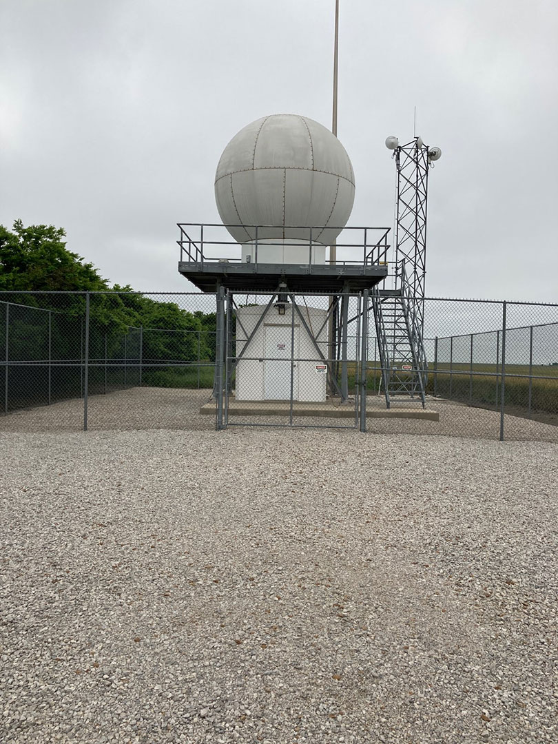
The I4 site is located by cultivated fields near Billings, Oklahoma.
Click to enlarge image.
Instruments deployed at SGP - Billings, OK (Intermediate)

saprvad
Scanning ARM Precipitation Radar (SAPR) Velocity Azimuth Display
2010-12-14 — 2019-01-22
Browse Data
No instruments currently active
Primary Measurements collected at SGP - Billings, OK (Intermediate)
Horizontal wind
Browse DataRadar Doppler
Browse DataRadar polarization
Browse DataRadar reflectivity
Browse DataNo measurements currently active
Follow Us:


Keep up with the Atmospheric Observer
Updates on ARM news, events, and opportunities delivered to your inbox
ARM User Profile
ARM welcomes users from all institutions and nations. A free ARM user account is needed to access ARM data.


Atmospheric Radiation Measurement (ARM) | Reviewed
March 2025