
Fine-scale variability of surface albedo on the Southern Great Plains
Submitter:
Fast, Jerome D — Pacific Northwest National Laboratory
Area of research:
Surface Properties
Journal Reference:
Science
Sunlight reflected by the Earth’s surface, known as surface albedo, has a large impact on the amount of energy available to warm the surface or evaporate standing water and moisture trapped in the soil. Surface albedo data are commonly obtained from tower, aircraft, and satellite observations. Each approach has advantages and disadvantages, including different fields of view, the wide range of land use under the aircraft and satellite flight tracks, and corrections to account for scattering and absorption of sunlight by clouds and particles in the atmosphere. A team, led by researchers from the U.S. Department of Energy, combined data collected via tower, aircraft, and satellite to obtain information about the fine-scale variability of the surface albedo over a large area with a wide range of land cover types on the Southern Great Plains. They also demonstrated how this information can be applied to evaluate and improve weather model predictions and forecasts.
Impact
The researchers’ analysis shows changes in the albedo with season; it also highlights differences related to land use, such as crop conditions, on the Southern Great Plains. When they compared observations to cases simulated by a standard weather forecast model, they noticed several noticeable data-model differences. These differences could lead to biases associated with variables such as near-surface temperature in both short- and long-term simulations.
Summary
In the study, the team compared Atmospheric Radiation Measurement (ARM) user facility tower, ARM Aerial Facility aircraft, and satellite measurements made during the DOE’s Holistic Interactions of Shallow Clouds, Aerosols, and Land-Ecosystems (HI-SCALE) field study. They examined the seasonal cycle and small-scale variability of albedo over a wide area of the Southern Great Plains.
The researchers highlighted that observed seasonal changes in surface albedo can be related to different land cover types identified on the Southern Great Plains. Further, they compared the observed seasonal and spatial variability of the surface albedo with simulations performed using a weather forecasting model widely used by the atmospheric community. Compared to the measurements, the simulations show weaker seasonal changes in surface albedo and a tendency to underestimate its spatial variability. These important results obtained from the combined observations and simulations provide a better understanding of the seasonal cycle of albedo and highlight shortcomings of approximations used in weather forecasting models.
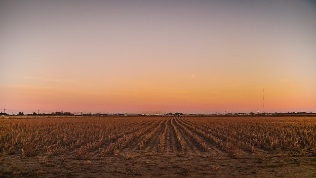
An analysis of fine-scale variability in surface albedo across the Southern Great Plains reveals differences due to land use such as crop cover. Photo by K. Mitch Hodge on Unsplash.