First Comes the Thunder: Precursors to Local Rainfall in the West African Monsoon
Submitter:
Roeder, Lynne R — Pacific Northwest National Laboratory
Area of research:
Cloud Processes
Journal Reference:
Science
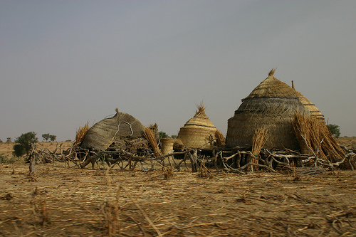
The strength and timing of the West African Monsoon is a bellwether for the millions of subsistence farmers in the Sahel—the transitional zone between the Sahara desert on the north and the lush grasslands of the African savanna on the south. It can spell the difference between a prosperous crop and extreme floods or devastating drought.
Knowing when the monsoon is imminent can help farmers schedule plantings and choose crops adapted to the season. Unfortunately, predicting the onset of the monsoon proved challenging for current weather models until research identified some precursor events that might help predict when the monsoon is imminent.
Impact
Weather in the Sahel is the subject of an intensive observational study known as the African Monsoon Multidisciplinary Analyses, or AMMA. This ongoing effort is intended to improve knowledge and understanding of the West African Monsoon and its variability. A study published earlier this year showed how convection cells—the starting point of thunderstorms—emerge in the arid environments of sub-Saharan Africa. A second study investigated the similarities of these convection cells from their more well-understood counterparts in the tropics.
Now an international team of researchers has used data gathered from radar, wind profilers, satellites, and meteorological stations to examine atmospheric convection over the Nigerian capital of Niamey just before and during the onset of the monsoon. The results of their work, recently published in the Quarterly Journal of the Royal Meteorological Society, include data gathered by the U.S. Department of Energy’s Atmospheric Radiation Measurement Mobile Facility during a one-year deployment in Niamey in 2006.
Researchers analyzed the horizontal and vertical cross sections on radar scans and confirmed their findings using satellite data in the same area. They were looking for patterns—particularly in the development of convection—that would shed light onto the mechanisms that initiate local deep convection in advance of the monsoon. They identified four types of convection: fair weather with a clear sky throughout the entire day; shallow convection; afternoon locally initiated deep convection with thunderstorms and squall lines; and propagating deep convection.
“We focused our study on locally initiated and isolated thunderstorms,” says research leader Cheikh Dione of the Laboratoire de Physique de l’Atmosphère et de l’Océan Siméon Fongang, in Dakar, Sénégal. “These local smaller systems redistribute water across the area, affecting local temperatures and the amount of moisture in the soil. They may thus increase the potential for new deep convection and may help intensify the monsoon, even if larger-scale processes are a major factor.”
Summary
Researchers were surprised to find a large number of days with locally initiated deep convection. Although the events were local in nature, they appeared to herald the arrival of the monsoon. How surface topography and heterogeneity affect this locally initiated deep convection remains to be better resolved, but these results suggest that the monsoon’s timing may soon be less of a mystery. Such knowledge can help farmers survive in the challenging area that is the Sahel.