
Editor’s note: Jerome Fast, the principal investigator of the Holistic Interactions of Shallow Clouds, Aerosols, and Ecosystems (HI-SCALE) campaign, sent this update.
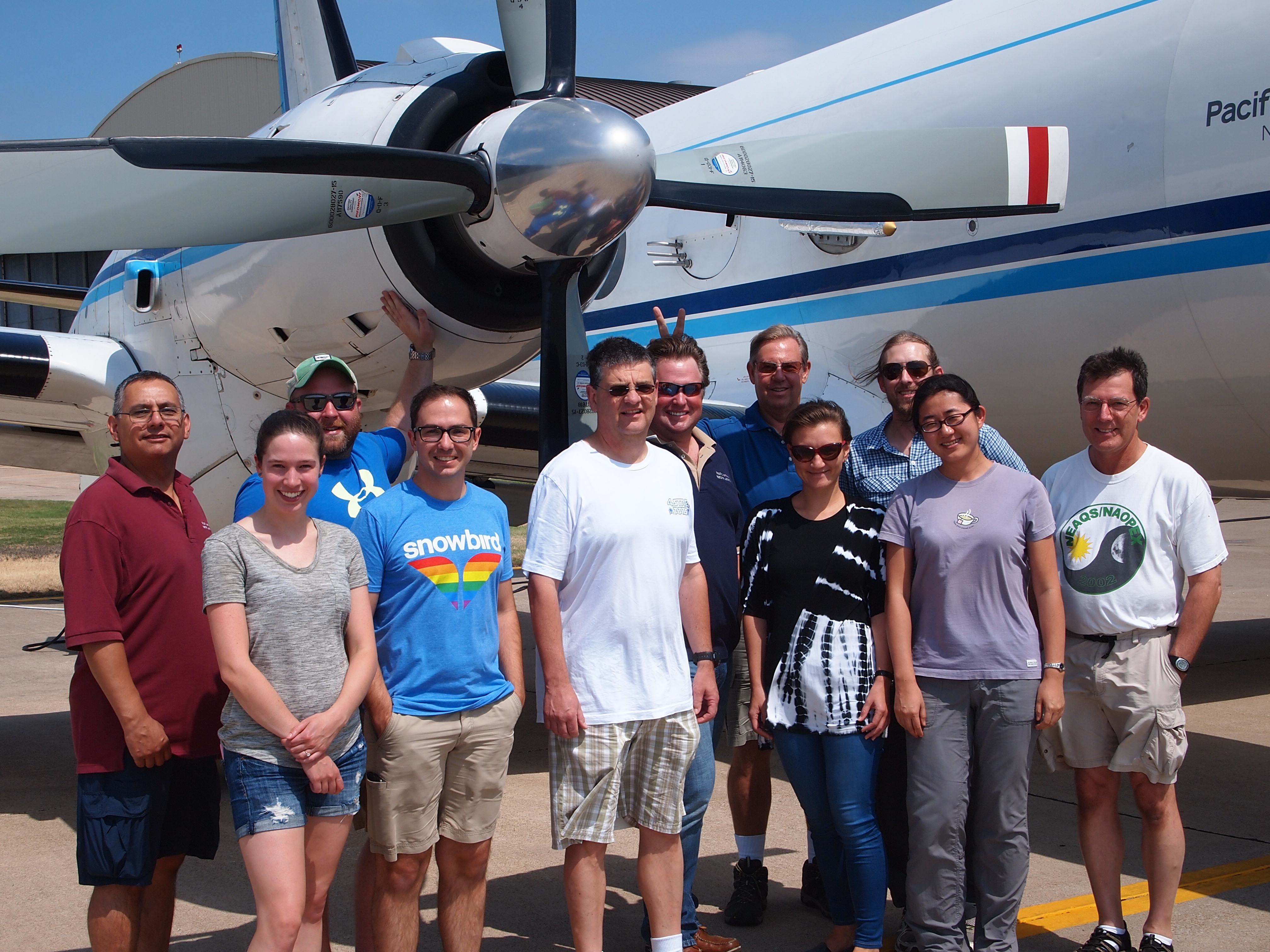
The second phase of HI-SCALE is underway! And, somehow we are surviving the heat and humidity! The G-1 aircraft arrived in Bartlesville on Saturday, August 24, and we spent the next day ensuring the plane and instruments were ready for flight missions.
Between Monday, August 25, and Labor Day, we completed seven research flights on five days. Because of the warm temperatures in Oklahoma this time of year and the heavy instrument payload, we have been flying somewhat shorter research missions and flying two missions per day on some days so that we can sample shallow cumulus clouds when they form. 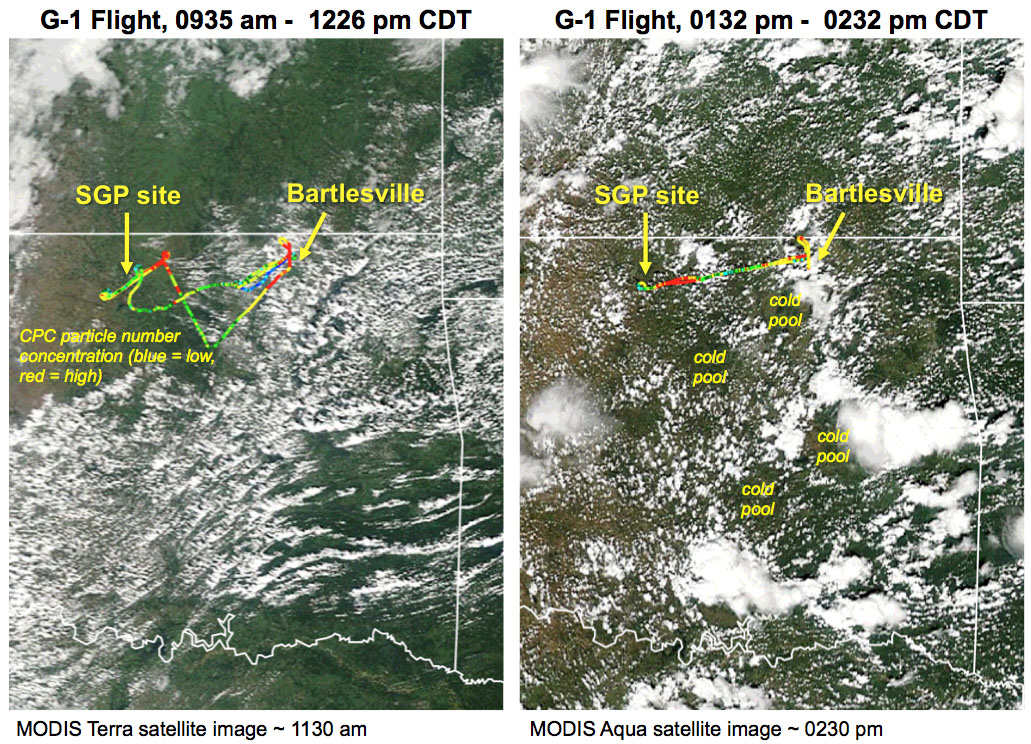
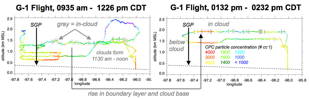
The evolution of shallow cumulus was particularly interesting during the two flights on August 30. Shallow cumulus started to form over southern and eastern Oklahoma while the G-1 began sampling boundary layer properties over the Southern Great Plains megasite under clear skies. By the end of the first G-1 flight, shallow cumulus began to form over the SGP site as well.
The G-1 also measured strong variations in aerosol concentrations, especially for smaller particle sizes. As the second flight commenced, shallow cumulus was prevalent over Oklahoma. The boundary layer height and cloud base rose ~600 meters compared to the morning flight. Some of the shallow clouds grew deeper, producing isolated deep convection and rain. The satellite imagery shows that multiple cold pools also formed, disturbing the distribution of shallow cumulus and producing pockets of cloud free areas.
By coupling routine ARM Facility in situ and remote sensing measurements, with the special in situ aerosol measurements collected at the SGP ground site, and the meteorology, radiation, trace gas, and aerosol measurements collected by the G-1 aircraft, we plan to better understand and model the relationships between the initiation and evolution of shallow cumulus populations, land-atmosphere interactions, boundary layer turbulent mixing, and aerosols.