
ARM instrumentation played a big role in the first joint U.S.-Indian experiment of its kind
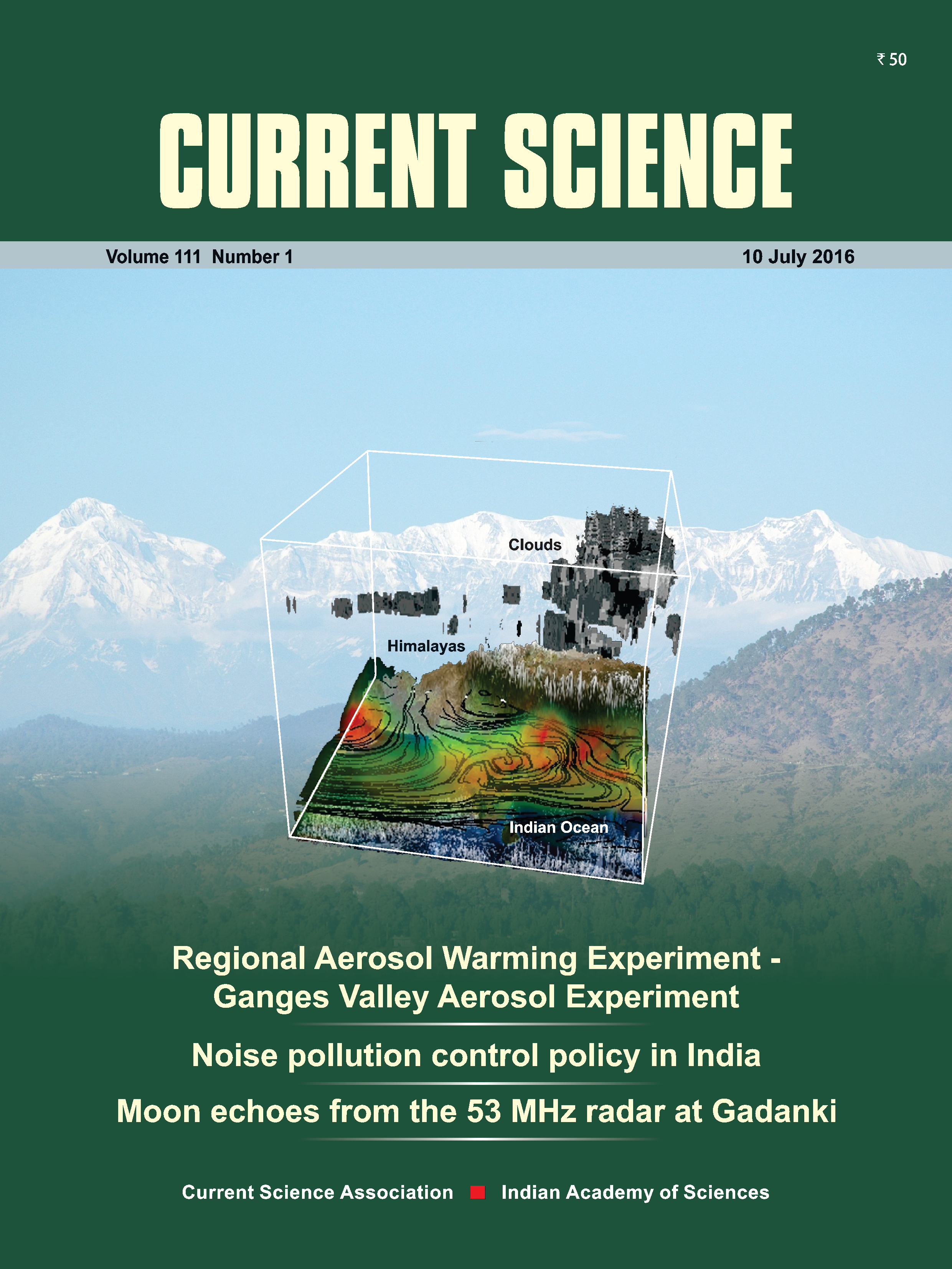
The Ganges River begins in a narrow valley in the Himalayas and flows eastward through a vast valley of farms, cities, power plants, and factories before exiting mightily into the Bay of Bengal. The 2,500-kilometer waterway, fed by Himalayan runoff and monsoon rains, is a freshwater lifeline to 300 million people. The river’s course is over the Indo-Gangetic Plain, which has a high population density, a diversity of geographic features, and a growing industrial footprint. All those factors make the valley region India’s primary case study for how atmospheric aerosols affect the climate.
Regional climate trends were already evident a decade ago. There was more surface dimming as clouds reflect more sunlight back into space. There was enhanced warming in the mid-troposphere, where weather happens. And above all the Ganges Valley region showed a troubling and persistent increase in aerosol loadings from coal and steel plants, urban traffic, and biomass burning practices in traditional Indian agriculture.
However, little about these trends was understood or quantified. Questions lingered about the impact of these aerosol-climate interaction trends on monsoon rainfall, snowpack in the Himalayas, or the region’s hydrological cycle.
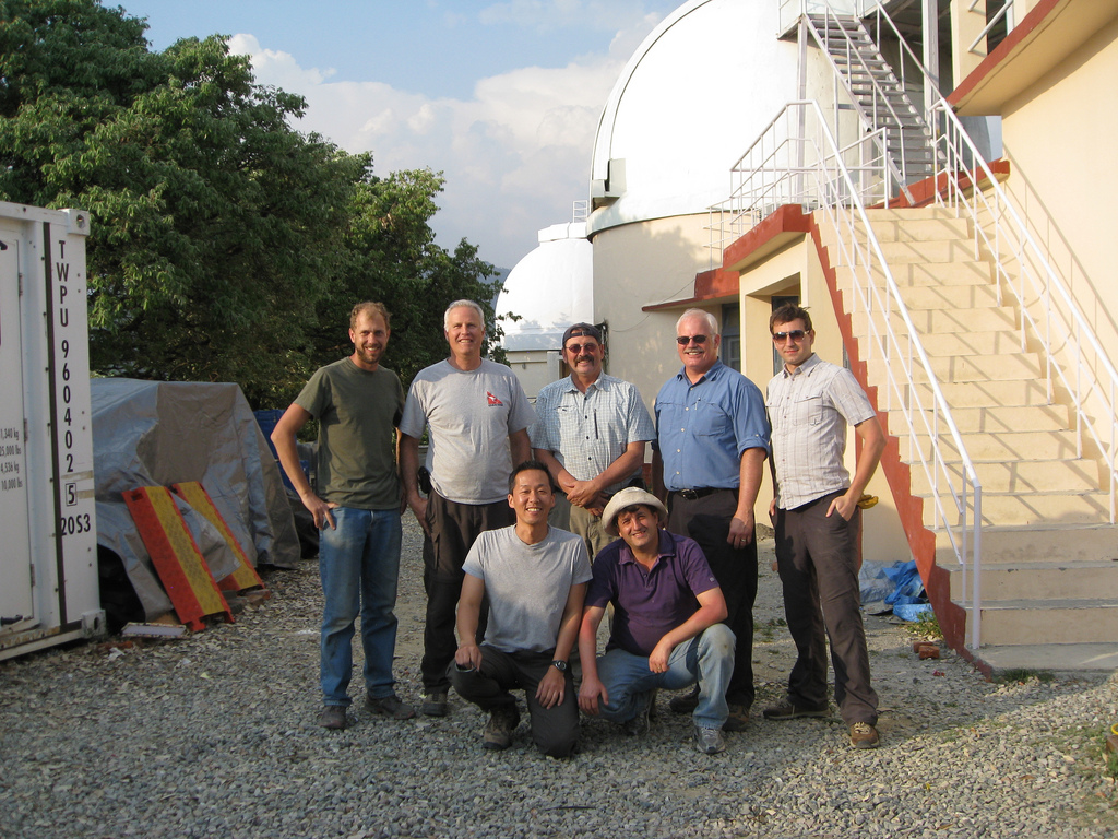
Five years ago, such enduring questions set the stage for the first large-scale joint field study on climate ever conducted by collaborating science teams in India and the United States. The Ganges Valley Aerosol Experiment (GVAX) set out to gather cloud, precipitation, and aerosol measurements from June 2011 through March 2012. The experiment’s nine solid months of considerable data and its growing scientific impacts are outlined in a special issue of Current Science, a prominent Indian journal.
“This will be the standard data for atmospheric models in India,” said GVAX lead U.S. scientistx V. Rao Kotamarthi, an atmospheric and climate scientist at the Argonne National Laboratory with funding from the U.S. Department of Energy’s Atmospheric System Research program. “It is openly available, and anybody can download it.”
The special issue features seven new studies based on data from the experiment, he added, on cloud properties, aerosol profiles, modeling, and other issues. There are as many as 20 GVAX-related papers in the climate literature and more are expected in the near future.
A Better Sense of Aerosols
GVAX data have already improved what scientists know about aerosol profiles in that climate-critical region of India, said Kotamarthi. “That puts a big constraint on how people model the region. Eventually, it will reduce a lot of the uncertainties we have.”
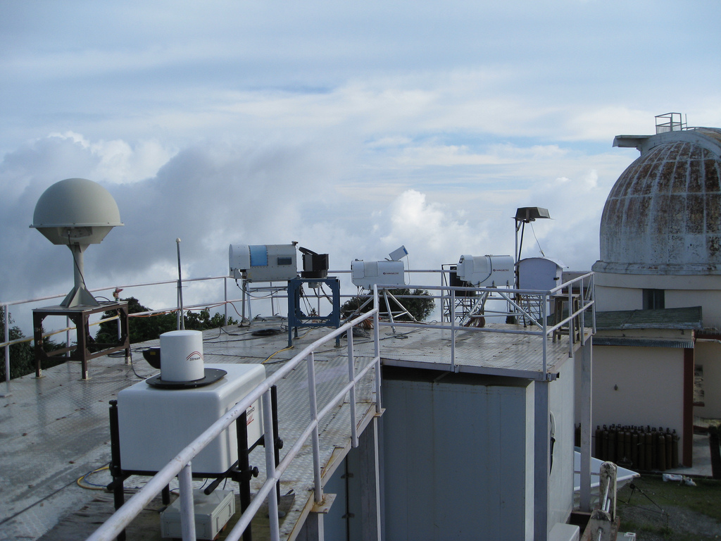
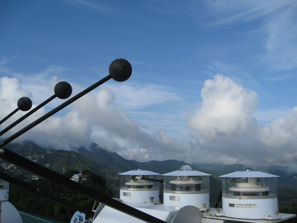
Gathering that data was in large part the work of the first ARM Mobile Facility (AMF1), one of three portable instrument packages now deployed worldwide by the U.S. Department of Energy’s Atmospheric Radiation Measurement (ARM) Climate Research Facility. This suite of 30-plus instruments was set up on a barren, flat rooftop next to the observatory at the Aryabhatta Research Institute of Observational Sciences (ARIES) in Nainital, India.
The AMF1, operated and managed by Los Alamos National Laboratory, was perched among mountain foothills with a view of a distant vast plain and of the snowcapped central axis of the Himalayas. It was more than 2 kilometers (6,800 feet) above sea level, high enough to capture background measurements for the region.
“It’s only a point measurement,” said Kotamarthi of GVAX’s single stationary site, but the data gathered there in a prolonged study are rich.
In the same 2011-2012 interval, India had an autonomous but corollary climate science field campaign under way: the Regional Aerosol Warming Experiment (RAWEX), which produced concurrent data. Post-GVAX/RAWEX, there are now a network of aerosol observatories in India, overseen by Aerosol Radiative Forcing over India (ARFI).
The ARM mobile site, designed for rugged campaigns of up to 18 months, includes shelters and a baseline suite of instruments: standard meteorological devices, broadband and spectral radiometers, remote-sensing equipment, and more.
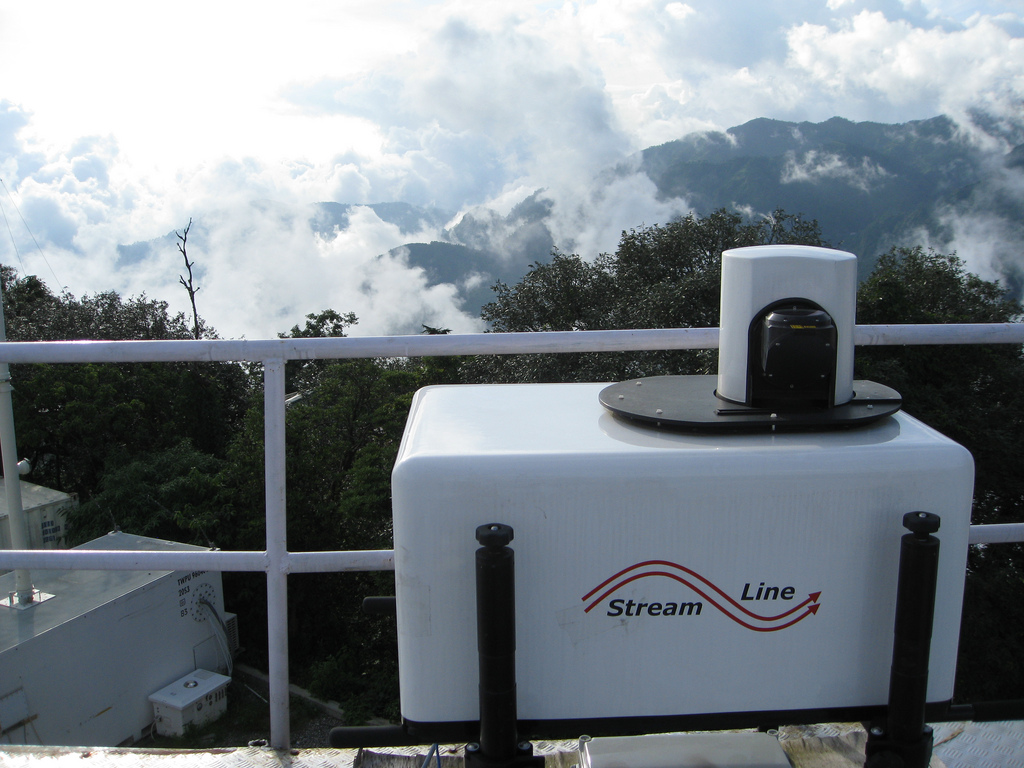
Doppler lidar and regular weather balloon sonde launches (six a day for the full nine months) helped answer one Ganges Valley puzzle: how to represent the boundary layer. As calculated by the usual models, said Kotamarthi, it was too deep “compared to what we observed over there.”
Other model-defying observations were made. GVAX found where critical aerosols reside when measured vertically: They are almost all below the cloud boundary layer.
“That’s a key discovery,” said Kotamarthi.
So were accurate moisture levels. Models “severely under-represented the moisture profile” over India. In turn, that skewed the optical properties of aerosols, which determine how much solar heat is absorbed by Earth or reflected back into space.
Heat-Sopping Particles
The GVAX experiment focused on coarse black-carbon “absorbing aerosols,” heat-sopping particles larger than 10 microns in diameter. After the July-to-September monsoons, these climate-critical aerosols were twice as large as during the rains. Absorbing aerosols are one of the few aerosols known to absorb heat, and therefore have a big effect on radiative forcing. They are a climate concern for the Ganges Valley, said Kotamarthi, but also “a big concern for the rest of the world.”
Aerosol data from GVAX, gathered in part during the monsoon season, can illuminate climate effects for the rest of the world in other ways. As the preface to the special issues points out: “…monsoon systems occupy and impact about 30% (of) the world’s landmass and impact a large fraction of the world’s population.”
The same absorbing aerosols that were the focus of GVAX contained another surprise: Most were the result of agricultural burning, swept into the air when farmers set fire to old crop residues after the monsoons and prior to planting.
“This creates huge aerosol problems for the rest of India,” said Kotamarthi, and is climate-effecting for the rest of the globe too. “Seventy percent of the world burns trash.”
A related GVAX finding was alarming, though not immediately related to climate, he added: fine particulates associated with dire health effects—those 2.5 microns in diameter, or less—soar to pre-winter and winter levels of 300 to 400 parts per million in New Delhi along the Ganges. That’s up to 200 times higher than the U.S. air standard. (A follow-on megacity health study in India may be a result.)
An Indian Model
GVAX also performed a climate science service beyond its data. “Most of the regional scale models have only been tested in the United States,” said Kotamarthi, making them unsuitable for other areas of the world. “If you blindly use them you have a lot of problems.”
Now, he added, India has a start on climate-aerosol interactions in its own backyard—one that might also improve models in similar areas of the world. For one, most of South Asia is marked by the same extensive cloud cover during late spring and summer, along with the same potential for local air pollution.
Of course, this was the first U.S.-Indian climate science collaboration of this scale and it came with a few bumps on a road that stretched across 12 time zones. When the clock is upside down for them, U.S. technicians did not have easy remote access to instruments 24 hours a day. Then there were a few early glitches in data transfer from India to the United States. And the science cultures of two nations had to blend.
“It was a learning process for many people,” said Kotamarthi, and then “we really learned to work together.”
# # #
The ARM Climate Research Facility is a national scientific user facility funded through the U.S. Department of Energy’s Office of Science. The ARM Facility is operated by nine Department of Energy national laboratories, including Los Alamos National Laboratory. Los Alamos manages the first and second ARM mobile facilities and the Eastern North Atlantic site.