
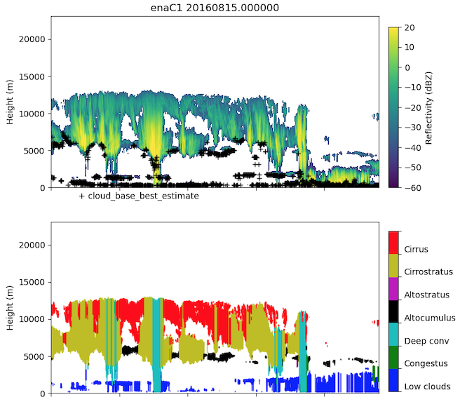
The Cloud Type Classification value-added product (CLDTYPE VAP) is now available for the Atmospheric Radiation Measurement (ARM) user facility’s Eastern North Atlantic (ENA) atmospheric observatory.
CLDTYPE provides an automated cloud type classification based on macrophysical quantities derived from vertically pointing lidar and radar at ARM sites. Up to 10 layers of clouds are classified into seven cloud types based on predetermined and site-specific thresholds of cloud top height, cloud base height, and thickness.
Scientists can access ENA CLDTYPE data from July 17, 2015, through June 29, 2022, in the ARM Data Center. (Go here to create an account to download the data.)
Regular processing will begin at the ENA when required input data products become available.
More information about CLDTYPE can be found on the VAP web page. For questions about the VAP, please contact ARM translator Damao Zhang or developer Krista Gaustad.
To cite the CLDTYPE data, please use doi:10.5439/1349884.
# # #ARM is a DOE Office of Science user facility operated by nine DOE national laboratories.