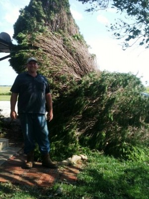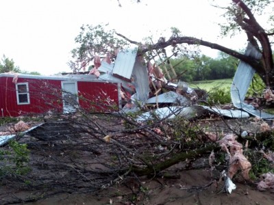
“While our facilities really dodged a huge weather bullet, about half of our employees had some degree of property damage from the storm,” said Doug Sisterson, SGP Site Manager for ARM. “And after braving the worst of it in their storm shelters, then helping their neighbors through the night, they still showed up for work the next morning. These people are incredible.”
Compounding the situation, a rainstorm on April 29 dropped nearly 12 inches of rain, flooding many roads throughout the area. As both ARM site staff and neighbors continue to assess damage and get on with recovery, ARM’s new scanning radars provide a detailed glimpse into the eye of the storm.
Precipitation Radars Record Storm Signatures
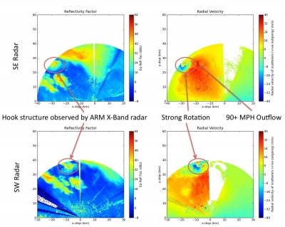
As the storm moved into the radar domain, the radar closest to Medford went offline as power lines snapped to the ground. However, the other two radars continued to operate, capturing the two key indicators that a tornado is taking place: a hook echo and a Tornado Vortex Signature (TVS). The hook echo is noted by a tightly wound ribbon of reflectivity, while the TVS is visible as a couplet of incoming and outgoing “radial velocities”—indicating rapid rotation where the tornado is spinning up into the parent thunderstorm.
These indicators occurred at the same time as the downdraft at the rear of the storm intensified, feeding 90-plus mph winds into the hook region. As the hook structure rapidly decayed, the winds—though still severe—took on more of a “gust” rather than sustained form. Data from the radars corroborate well with tornado reports from spotters and the National Weather Service, and will be extremely useful as scientists analyze this complicated and unexpected storm development.
Picking up the Pieces
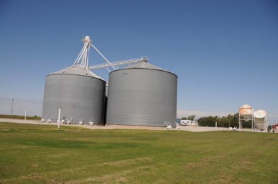
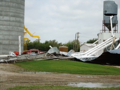
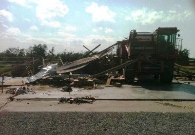
Nearly half of the power poles west of I-35 into the town of Lamont were snapped, and the huge grain bins that served as a landmark for the turns south onto the Billings-Nardin Road were leveled. The big farm on the west side of the Billings-Nardin road reportedly had its barn and grain bins “relocated” to the road, and the Salt Fork River was above the bridge and impassible.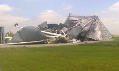
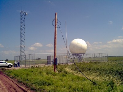
In the Medford area, all main power poles were sheared off and laying across the roadways to within 100 feet of the C-band radar at Nardin, and the transformer for the radar was in the ditch. The grain elevator to the north had one of the huge storage bins collapse and tin littered the field up to the radar site, including one small piece inside the fence.
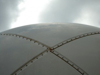
While the radar had several visible dents and one crack on the radome from hail damage, land owners to the south suffered significant damage. Drawing a line from the gain elevator to the homes puts the Nardin radar within 1/2 mile of the center of the damage path, perhaps even closer.
Uprooted trees, smashed barns, and collapsed grain silos tell the story. Photos by SGP staff John Schatz, Site Operations Manager; David Breedlove, Deputy Site Operations Manager; and Chris Martin, Senior Engineering Technician. (Click on images to enlarge.)
