
New research lends insight to the impact of land and oceans on climate
Each year, the ARM Climate Research Facility receives proposals to use key components of the facility for extended or intensive field campaigns to improve understanding of atmospheric processes that are relevant to regional and global climate. The U.S. Department of Energy has selected five field campaigns to take place from April 2016 through April 2019. These new efforts reach from the Argentine mountains to the Southern Ocean near Antarctica to provide insight into the impact of land and oceans on climate.
Cloud, Aerosol, and Complex Terrain Interactions (CACTI) Experiment
Storms account for significant amounts of life-giving rainfall worldwide, but simulating storm clouds in global climate models can be tricky because scientists do not fully understand how environmental conditions affect the details of storm initiation, organization, and life cycle.
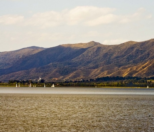
From September 2018 to April 2019, scientists leading the CACTI Experiment plan to position the first ARM Mobile Facility (AMF1), ARM precipitation scanning radar (C-SAPR), and other instruments nearly 3,500 feet above sea level near the rugged Córdoba mountain range of north-central Argentina. This area is home to some of the most intense, largest, and longest-lived storms in the world.
For part of the campaign, scientists plan to also deploy the ARM Aerial Facility (AAF) Gulfstream-1 to take measurements inside storms. With this wealth of instrumentation, CACTI will amass an unprecedented data set about the storms and their interaction with the environment in subtropical South America. Because this area is vital to agriculture, more accurately simulating long-term climate there is important for predicting future food and water supplies.
Principal Investigator: Adam Varble, University of Utah
Holistic Interactions of Shallow Clouds, Aerosols, and Land-Ecosystems (HI-SCALE) Campaign
The land surface can play an important role in the formation and behavior of clouds, particularly during the growing season over many regions of the world. But climate models lack the data necessary to appropriately simulate the connections between clouds and land.
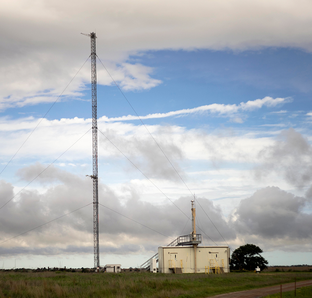
The HI-SCALE campaign will provide a detailed set of measurements that show how cloud properties are linked to land surface properties, ecosystems, and even tiny aerosol particles in the atmosphere. With two month-long intensive observational periods, one in the spring and the other in the late summer of 2016, the effort will take advantage of different stages and distributions of vegetation near the ARM Southern Great Plains site in Oklahoma.
Scientists will deploy instrumentation on the AAF Gulfstream-1 to measure atmospheric turbulence, cloud water content and drop size distribution, and aerosol properties.
The data gathered will help scientists determine how land use, vegetation, soil moisture, and aerosol properties influence the formation, growth, and dissipation of clouds near the surface of the Earth. The results can add important details to the next generation of climate models being developed. Just as importantly, the results will provide information to a new ARM project tying together observational data and large-eddy simulation (LES) modeling to study atmospheric processes, improvement measurements, and provide details on clouds, aerosols, and radiation in climate models. The LES ARM Symbiotic Simulation and Observation (LASSO) workflow is laying the groundwork to produce routing LES modeling at the ARM Southern Great Plains site starting in 2017.
Principal Investigators: Jerome Fast and Larry K. Berg, Pacific Northwest National Laboratory
Aerosol and Cloud Experiments in the Eastern North Atlantic (ACE-ENA)
Because of their extensive coverage over the oceans and high reflectivity, low clouds can greatly impact climate. Yet because of their location over water, where no surface-based instrumentation generally exists, the properties of these low clouds are difficult to measure and factor into global climate models. In addition, the way low clouds react to tiny aerosol particles is one of the largest sources of uncertainty in current global climate models.
The ACE-ENA field campaign will deploy the AAF Gulfstream-1 to supplement the valuable information already coming from ARM’s Graciosa Island site in the Azores. The combined results will help scientists understand the life cycle and unique properties of these marine clouds and their interactions with aerosols. The measurements made via aircraft will also help validate ground-based measurements at the site.
In two intensive observational periods, one in summer (June/July 2017) and one in the winter (January/February 2018), scientists will examine clouds under a variety of conditions. The proposed deployments, combined with the routine measurements at the site, will have a long-lasting impact on the research and modeling of low clouds in the remote marine environment.
Principal Investigator: Jian Wang, Brookhaven National Laboratory
Extending the Layered Atlantic Smoke Interactions with Clouds (LASIC) Campaign

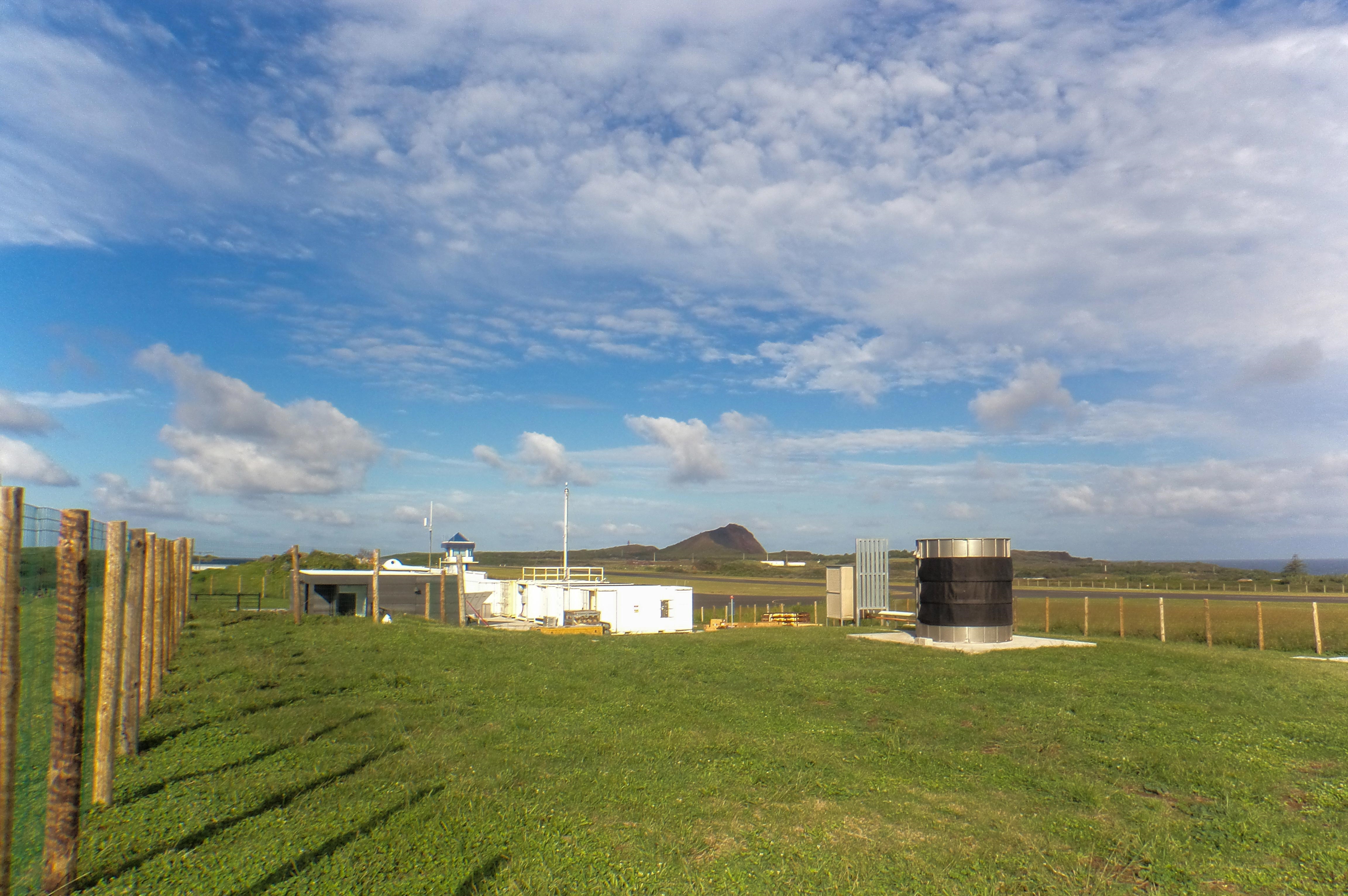
As previously planned, ARM’s AMF1 and its atmospheric profiling equipment will be stationed at isolated Ascension Island between South America and Africa from June 2016 through May 2017 for the LASIC field campaign. This campaign will study how smoke is transported in the atmosphere and its effect on low clouds.
Africa represents the largest source of smoke from biomass burning in the world. Ascension Island is strategically located to measure the transport of this smoke and how clouds and smoke interact, helping to resolve uncertainties in current climate models associated with the tiny smoke particles called aerosols.
Under the latest proposal, the ARM Facility will extend the deployment of the AMF1 through October 2017 to sample a second burning season, expand the range of meteorological conditions that can be studied, and provide insight into year-to-year variability. The effort will partially overlap with aircraft deployment for NASA’s ORACLES, also known as the ObseRvations of Aerosols above CLouds and their intEractionS campaign, a five-year investigation to study key processes that determine the climate impacts of aerosols from African biomass burning. Extending ARM’s contribution to LASIC will provide the data needed to improve the aerosol component of global climate models.
Principal Investigator: Paquita Zuidema, University of Miami
Measurements of Aerosols, Radiation and Clouds over the Southern Oceans (MARCUS)
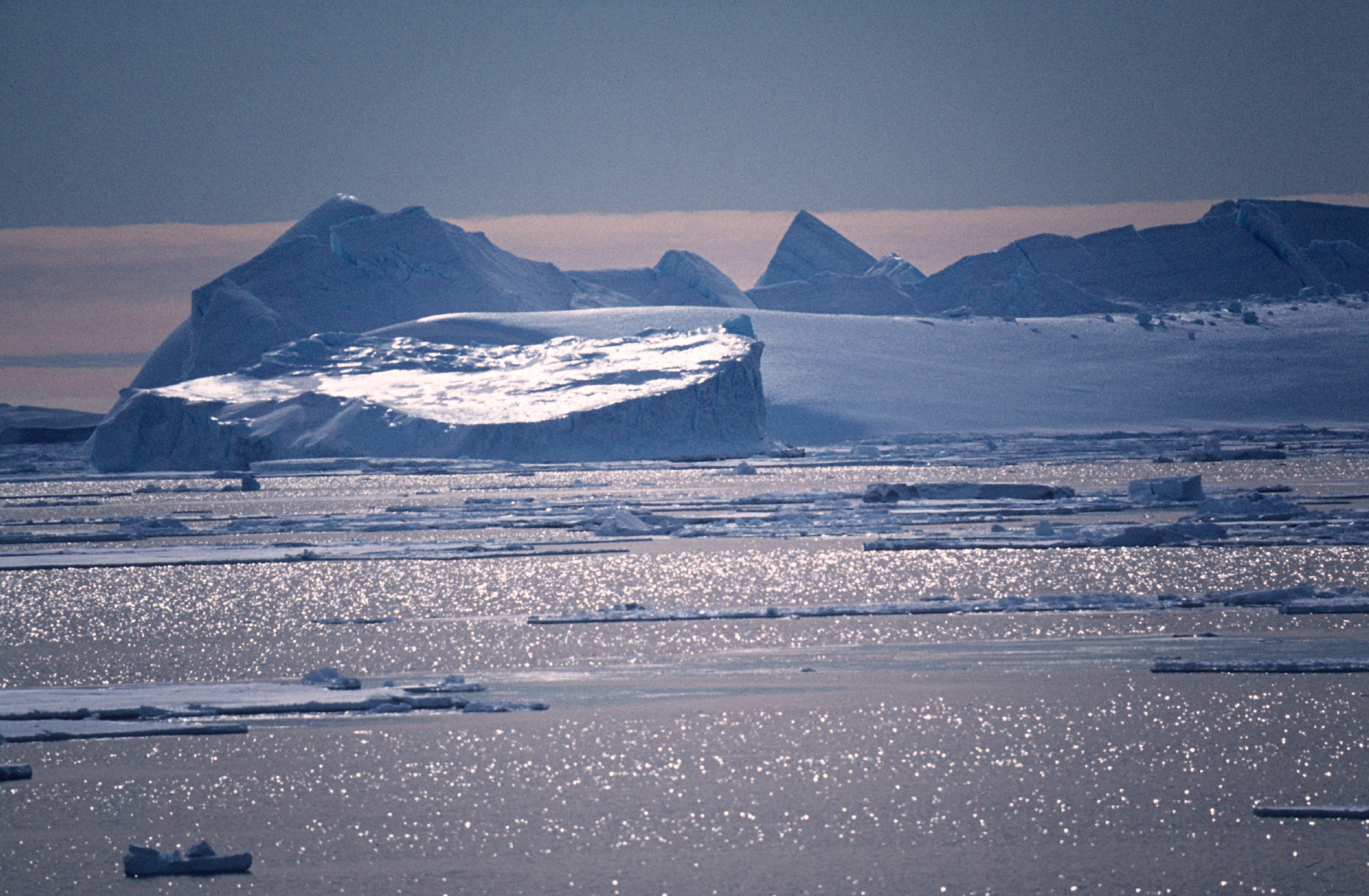
The Southern Ocean is the stormiest place on Earth, sheathed in clouds and buffeted by winds and waves that circle the ice of Antarctica. The usually pristine environment is removed from human-derived and many natural sources of airborne pollutants and is a region of sparse measurements because of the remoteness and extreme conditions. These factors make for a unique location where scientists can study liquid and ice clouds and the tiny particles of sea-borne material, such as those found in sea spray, that can form aerosols. Discovering how cloud and aerosol interactions function in this environment will help scientists understand the relevant processes under a wide range of atmospheric conditions.
A large international multi-agency effort called the Southern Ocean Clouds Radiation Transport Aerosol Transport Experimental Study (SOCRATES) has been proposed to improve understanding of clouds, aerosols, and air‐sea exchanges over the Southern Ocean. As a standalone experiment supporting SOCRATES, MARCUS plans to deploy the second ARM Mobile Facility (AMF2) aboard the Australian Antarctic Division’s supply vessel as it makes routine transits between Hobart, Australia, and three Antarctic research stations from September 2017 to April 2018.
The MARCUS measurements will capture the variability in aerosol and cloud properties across the Southern Ocean from spring to autumn, especially in cold waters where wintry cyclones are frequent and where SOCRATES measurements are most sparse. Data collected during MARCUS will provide insight into key processes controlling aerosols, clouds, and their interactions in a region where climate models typically perform particularly poorly.
Principal Investigator: Greg McFarquhar, University of Illinois
# # #
The ARM Climate Research Facility is a national scientific user facility funded through the U.S. Department of Energy’s Office of Science. The ARM Facility is operated by nine Department of Energy national laboratories.