
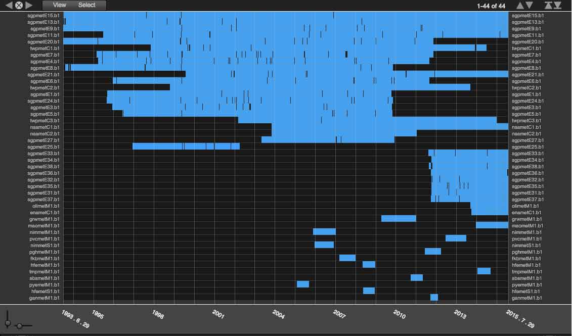
In an effort to provide data product consistency, the task of reprocessing historical surface meteorology data was recently completed.
As the ARM Climate Research Facility grew both in size and scope, it became important to create homogenous data sets to ease navigation for users, while providing a straightforward approach for ARM infrastructure staff to maintain and develop data.
Each ARM Facility varies in terms of equipment installed, making this a difficult, yet necessary, task. Three categories of data were identified: core measurements, site-specific measurements, and diagnostic variables used for maintenance. The overall goal was to unify naming conventions and quality checks for the core and diagnostic measurements across all sites, while allowing for instrument flexibility determined by climate or investigator needs. This is particularly important for mobile facilities. The result is a standard-format datastream for the Surface Meteorological Instrumentation, called “MET,” that is easy to navigate, maintain, and compare across sites.
This change addressed problems with different naming conventions, spelling, capitalization, and location of the multiple variables within the different datastreams by making them consistent across the ARM Facility meteorological datastreams. In addition, this new format also can manage the differences in variables and sensors in use.
With the reprocessing effort concluded, the following system datastreams are no longer active:
-
- AMFMET: ARM Mobile Facility Meteorological Instrumentation – All data have transitioned to MET.
- METTWR: Surface and Tower Meteorological Instrumentation at the North Slope of Alaska – Current data will be found in the MET and TWR, or Facility-specific Multilevel Meteorological Instrumentation, datastreams; some historical data will remain available under the retired METTWR and METTIPTWR.
- SMET: Surface Meteorological Instruments for the Tropical Western Pacific – All site data have been transitioned to MET; only beta data remain from an ARM Mobile Facility test.
- SMOS: Surface Meteorological Observation System Instruments for the Southern Great Plains – All ARM Facility data have been transitioned to MET; data from the Atmospheric Boundary Layer Experiment (ABLE) will remain available under the retired SMOS.
Feedback and use of the data are welcomed and encouraged. For questions or to report data problems, please contact Nicole Keck or Jenni Kyrouac. Browse the data set here or log in to the ARM Data Archive. (Go here to request an account).
# # #
The ARM Climate Research Facility is a national scientific user facility funded through the U.S. Department of Energy’s Office of Science. The ARM Facility is operated by nine Department of Energy national laboratories, including Argonne National Laboratory, which manages selected instrumentation and the Southern Great Plains site, and Pacific Northwest National Laboratory, which manages Data Management Facility that processes raw data from all the ARM research sites.