Radiatively Important Parameters Best Estimate Data Available for Southern Great Plains
Published: 26 November 2010

ARM Facility users use detailed state-of-the art radiative transfer models to understand the radiative impact of clouds and aerosols on the Earth’s radiation budget, evaluate remote-sensing retrievals of cloud and aerosol properties, and develop and evaluate simpler radiative transfer models designed for inclusion in cloud and climate models. The ARM suite of instruments measures all of the radiatively important parameters in the atmospheric column that need to be included in these radiative transfer simulations, but they are measured at different temporal and vertical resolution, and combining them on the same grid can be difficult and time-consuming.
The Radiatively Important Parameters Best Estimate (RIPBE) value-added product (VAP) was developed to create a complete set of radiatively important parameters within the ARM measurement column on a uniform vertical and temporal grid with quality control and source information. One of the main goals of RIPBE is to streamline the process of creating input files for the Broadband Heating Rate Profiles (BBHRP) VAP, but RIPBE files may also be used for user-run radiative transfer models, as part of cloud/aerosol retrieval test-beds, and as input to averaged datastreams for model evaluation.
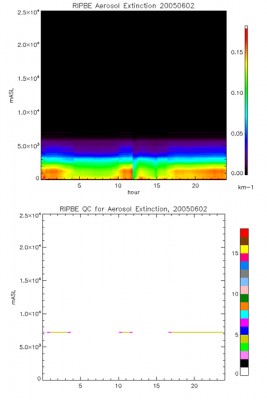
One year of RIPBE data gathered at ARM’s Southern Great Plains site is now available as an evaluation product. This data set contains vertical profiles of cloud, aerosol, temperature, and water vapor; band-averaged surface albedo; mixing ratios of carbon dioxide and other trace gases; and observed surface fluxes at 1-min resolution. In order to provide as continuous a data set as possible, missing or bad data are filled in wherever possible. Quality control flags indicate questionable data, and source flags indicate whether each data value is directly measured, interpolated, or from a climatological value.
Further details of the RIPBE procedure can be found in a draft technical report, available with the RIPBE data in the ARM Data Archive. Currently, RIPBE is undergoing a 6-month evaluation period, and any comments or suggestions are welcome. To access these data, log in to the Data Archive. (Go here to request an account.)
The ARM Climate Research Facility is a DOE Office of Science user facility. The ARM Facility is operated by nine DOE national laboratories, including .
Keep up with the Atmospheric Observer
Updates on ARM news, events, and opportunities delivered to your inbox
ARM User Profile
ARM welcomes users from all institutions and nations. A free ARM user account is needed to access ARM data.


