

Radar Calibration, Grooming, and Alignment at the ARM Oliktok Point Site
Published: 18 January 2016
Editor’s note: Joseph Hardin, a radar engineer at the ARM Climate Research Facility, sent this update.

Before a radar site is “turned on” to the public, there are many steps required to make sure the data are of the highest quality, and satisfies the requirements for scientific usage.
One of the primary steps is calibration of the radar system to ensure measurements are accurate and repeatable. An entire suite of performance tests are run for the radars, and scientists determine the pattern that the radars scan to ensure the scan strategy supports their scientific goals. A standard way to accomplish these goals is to conduct a procedure called calibration, grooming, and alignment, or CGA.
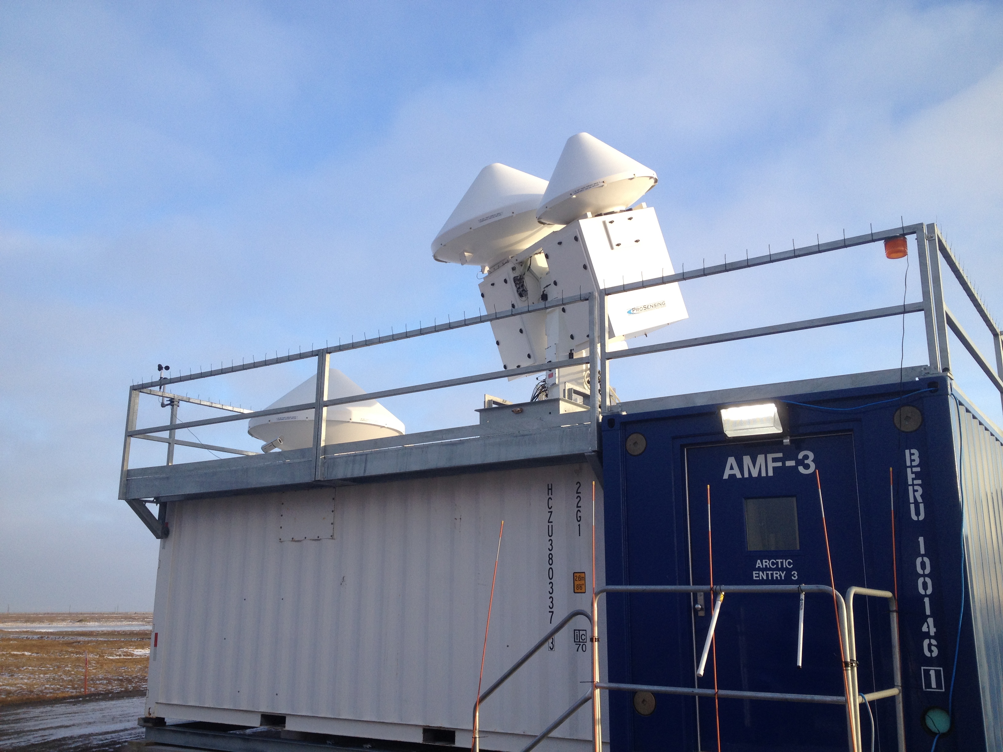
This 2-week procedure was recently conducted at ARM’s Oliktok Point deployment site located on the North Slope of Alaska.
A Radar Shakedown
Before CGA begins, the radars are calibrated to ensure operational stability and accuracy by the radar engineering team (check out Calibration Season Begins). Many of the individual components of the radar are tested and measured, as well as go through end-to-end testing.
Next, in coordination with the radar science team, the radar engineers program a set of candidate scan strategies to run during CGA. For 2 weeks, these scans are run over a variety of conditions. The CGA serves as a “shake-down” period for the radars, making sure the entire radar and data pipeline is functional and working efficiently.
This process includes everyone from engineering, through data management and archiving. Feedback from CGA helps to improve all of these processes. However, this thorough scanning procedure sets our radars apart from others.
One of the major differences between ARM radars and many other radar networks is the variety of different scan types. ARM radars are capable of scanning in many different patterns to support scientific needs.
While being able to change hundreds of scan parameters makes these radars very versatile, it can also make coming up with the best scan strategy challenging.
Data captured from the 2-week scan period helps the engineering and science teams to set the radar baseline; the standard operating set up that the radars will perform.
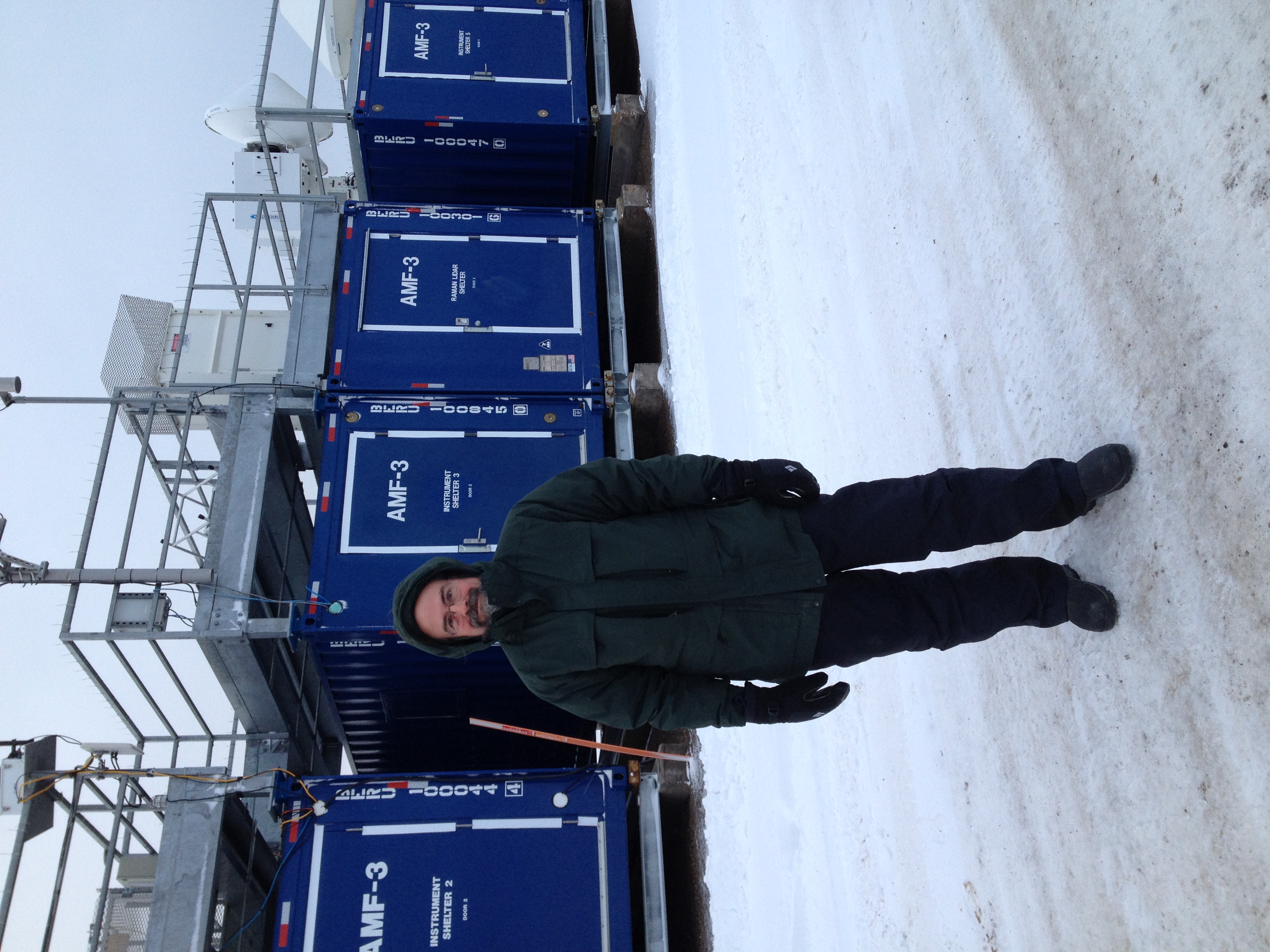
ARM sites can be in some very remote and challenging areas of the world. During the CGA, scientists and technicians are on site with the radars, allowing them to quickly analyze the data and suggest changes that can illuminate different aspects of the radar capabilities. In remote sites, this quick turnaround is important as we cannot download or access the data for several weeks until the physical shipment of hard drives arrive in the United States.
Radar Collaboration at Oliktok Point
During the Oliktok Point CGA, two scientists, Hans Verlinde and Ed Luke, braved the cold and made the trip to the site to provide real-time analysis of the radar data. ARM radar technician Todd Houchens was on site as well to ensure any issues with the radar could be quickly resolved. These on-site personnel were able to provide necessary feedback on the scan strategies improving the overall quality of the process.
This collaboration between the engineering and science teams is vital to provide the highest quality data possible.
The ARM Climate Research Facility is a DOE Office of Science user facility. The ARM Facility is operated by nine DOE national laboratories, including .
Follow Us:


Keep up with the Atmospheric Observer
Updates on ARM news, events, and opportunities delivered to your inbox
ARM User Profile
ARM welcomes users from all institutions and nations. A free ARM user account is needed to access ARM data.


