

Top of the World
Published: 18 January 2016
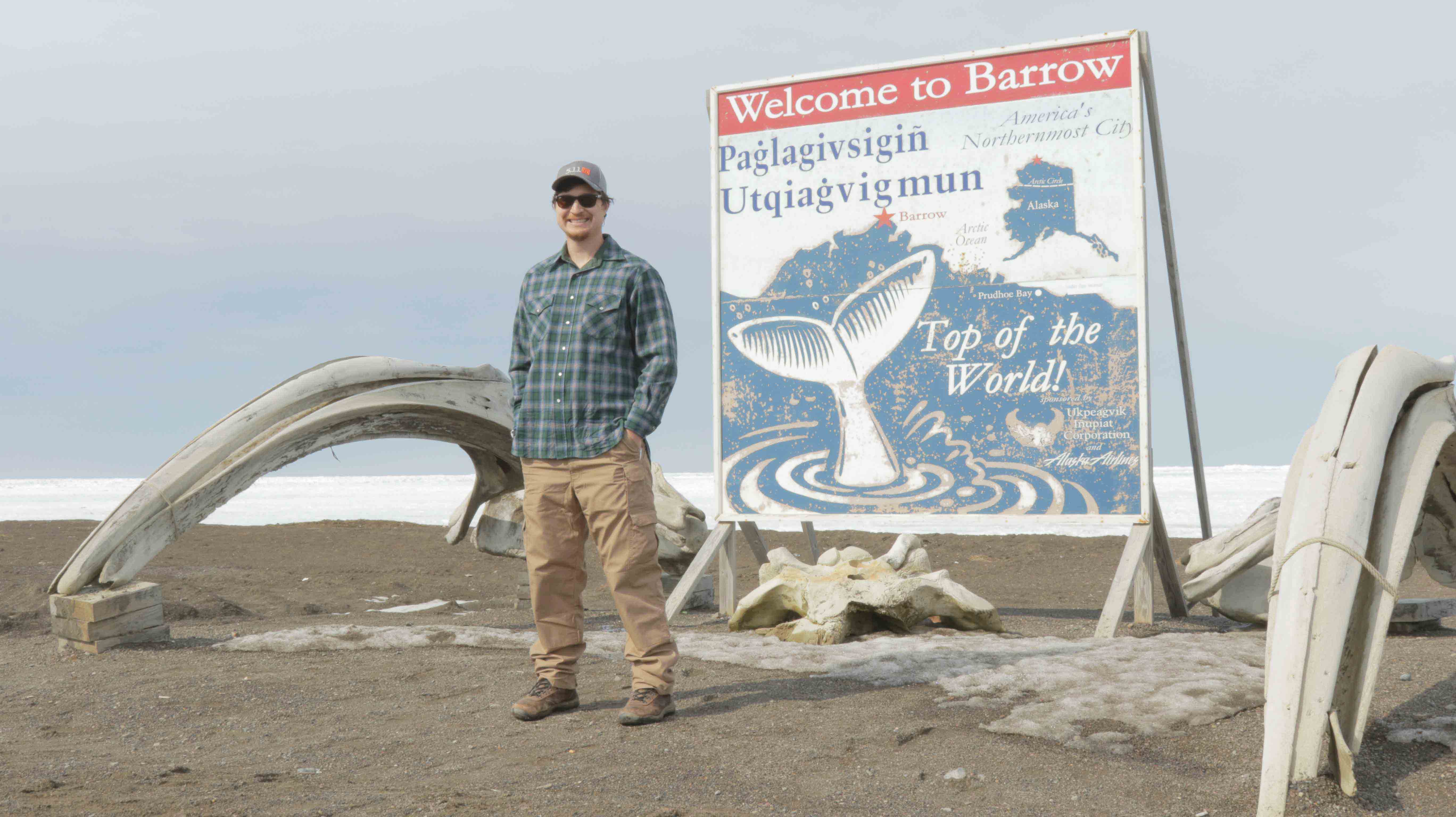
Stepping off the plane in Barrow, Alaska, feels like stepping into someone’s family reunion. The single-terminal airport was packed with people, but not with passengers flying south; family and friends flooded the small room, yelling of happy words echoed each other. Everyone was smiling and catching up, while I stood there wide-eyed, surprised how casual the interaction was. The terminal experience was a stark reminder that I was entering a tight-knit community.
No bigger than a large conference room, the Barrow terminal can only host a single plane at a time. There was one TSA agent standing next to a metal scanner, chatting with people as they walked past. There was no baggage claim, just a short chute where the airplane workers slide bags down.
Our guide, Dan Lucero of Sandia National Laboratories, greeted us and helped us drag our luggage and equipment out to the truck outside. In the terminal, most people were carrying three plastic containers, duct taped shut, in addition to their luggage. Dan told us that passengers were allowed to fly with three additional checked bags, so the locals fill them with food and other supplies to ship back to Barrow because it’s cheaper than buying groceries in town.
There are palm trees in the land of the midnight sun. Not a lot of them; four or five hardened 5-foot trees, bursting through the old snow and ice, made out of driftwood and whale bones. I stood next to the shoulder-height palm trees, feeling odd dressed in winter clothes in May, squinting through my sunglasses at man-made palm trees. Dan told me that during the 3 days we were in Barrow, it was the warmest and sunniest 3 days in a row he had ever seen.
Having come from the trees and green of the Pacific Northwest, the Alaskan tundra looked foreign to me. There are no trees or hills. The flat icy landscape stretches into infinity without a blemish on the cold snow.
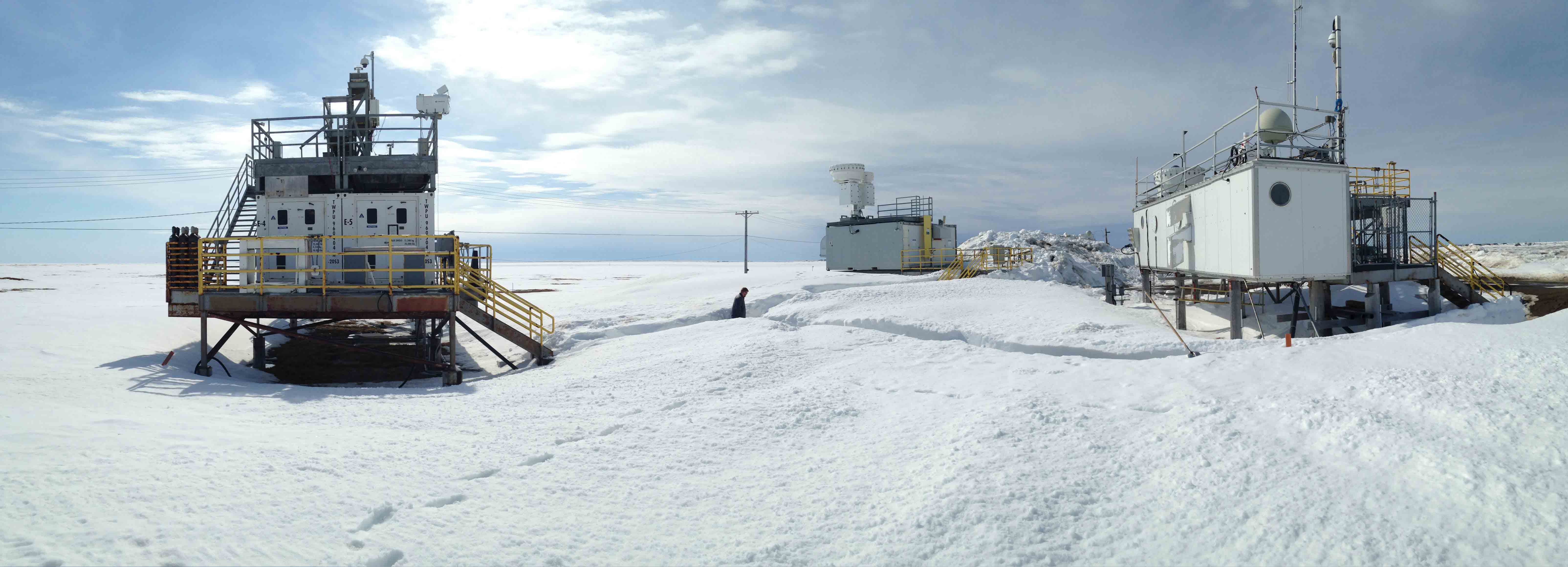
The ARM North Slope of Alaska (NSA) site is nestled between fresh water ponds, hidden underneath the layers of ice and snow. Three grey instrument decks and a large tower stood out among the flawless scenery.
Two dozen individual instruments—from cloud lidars and radars to sky imagers and radiometers—are sprawled across these platforms, continuously measuring the arctic sky. Measurements from these state-of-the-art instruments help scientists improve the understanding of arctic cloud and radiation processes to ultimately improve climate models.
There is a certain amount of serenity that can be found at the top of the world. Walking past the instrument decks, there is only the sound of the snow crunching under our feet and the light arctic breeze brushing against our face. There are no sounds of traffic or wildlife, no litter cluttering the streets, or department stores. In Barrow, it’s the pure and pristine environment of the Arctic, preserved in part by its location and the people who live there.
While it’s not the same feeling as being there or hearing the snow crunch under your feet, the virtual tour is meant to transport you to the site. With the click of your mouse, you can move between the platforms and instruments to explore the instruments for yourself. It acts as a resource to help you plan research campaigns and better understand how and where the data are being collected.
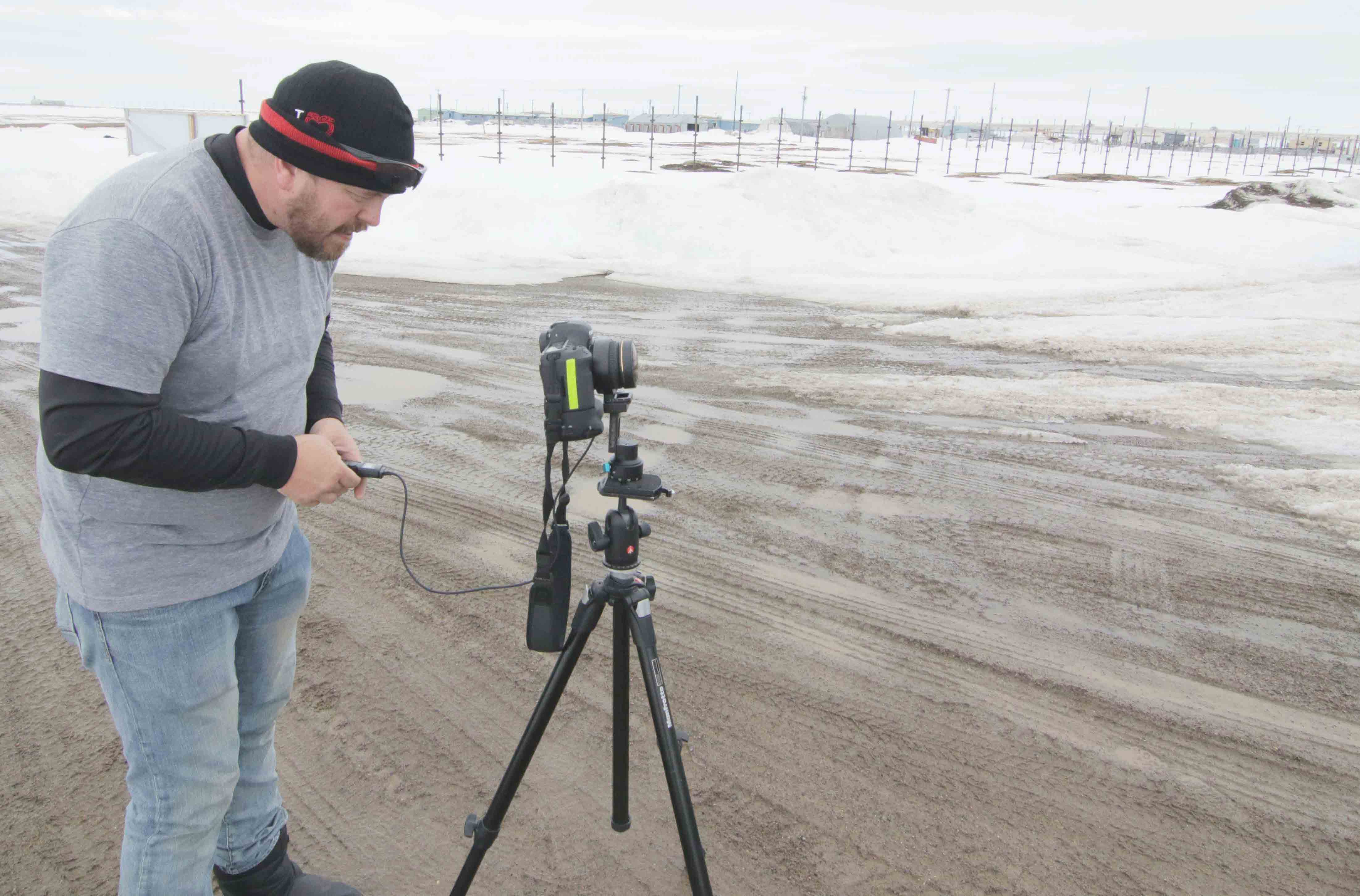
Despite the challenges, I am proud to share the second installment of the virtual tour, which you can see here. You can also check out the Southern Great Plains tour here.
I also want to give a shout out to Rolanda Jundt, ARM communications, who did not travel with me on this trip, but was instrumental in the planning, execution, and completion of this virtual tour.
Kyle Westcott
ARM Communications Specialist
Pacific Northwest National Laboratory
The ARM Climate Research Facility is a DOE Office of Science user facility. The ARM Facility is operated by nine DOE national laboratories, including .
Follow Us:


Keep up with the Atmospheric Observer
Updates on ARM news, events, and opportunities delivered to your inbox
ARM User Profile
ARM welcomes users from all institutions and nations. A free ARM user account is needed to access ARM data.


