

Following the Ebb and Flow of Nature on the Southern Great Plains
Published: 26 April 2011
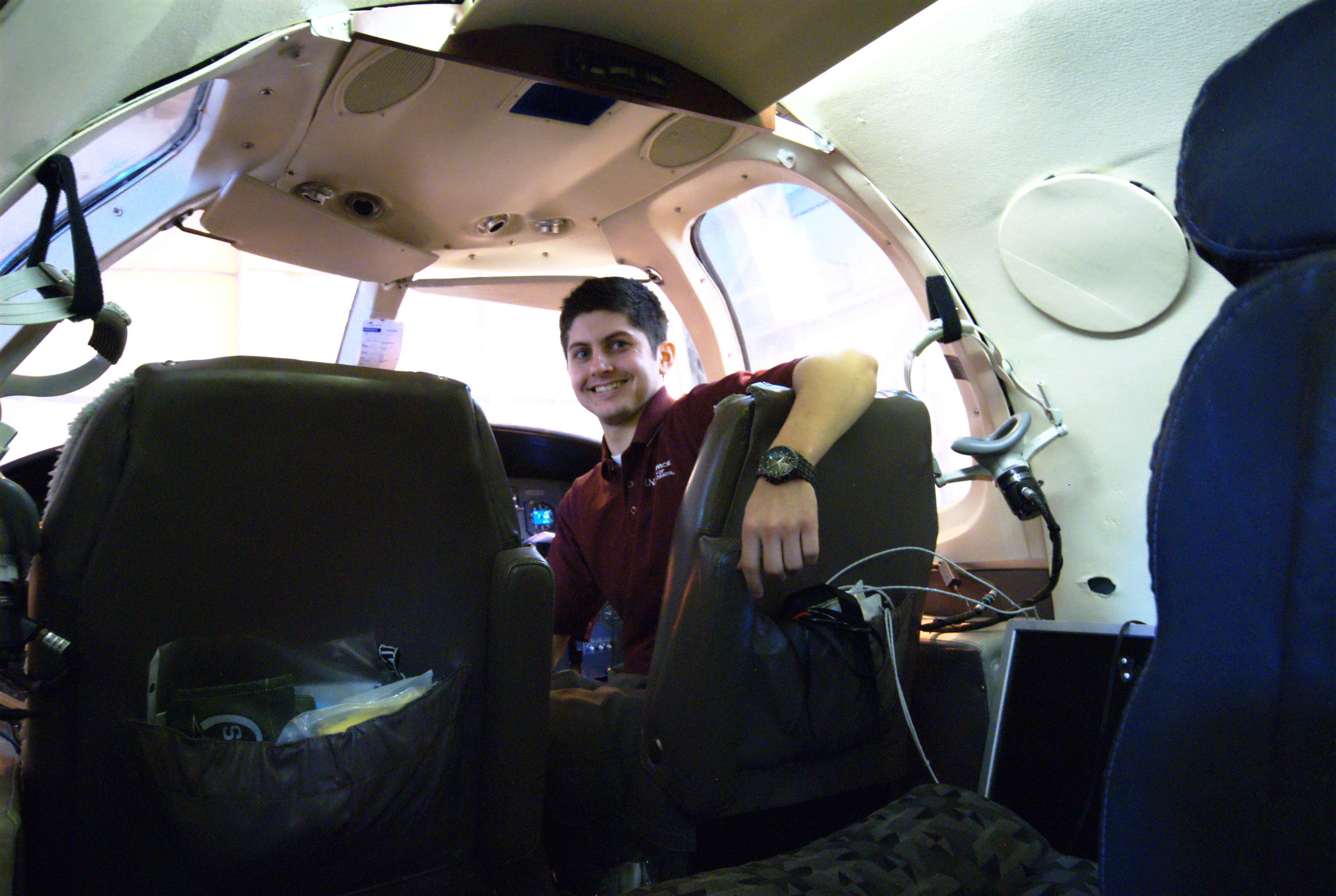
Spring is a time of change across much of the United States. Cool dry air at the surface is refreshed by a warm, moist gulf flow while the upper atmosphere remains seasonally cool. This sets the stage for a convective playground like no other, and the folk here for MC3E take play time seriously! The increasingly swift tempo of pre-campaign preparations changed gears smoothly into operations. Aided by excellent guidance from the forecast team (charged with aiding operational decisions both in the thick of operations and also in forward planning) Mission Scientists Steven Rutledge and Ed Zipser called for back-to-back late-night, early-morning aircraft missions, while principal investigator Mike Jensen, aided by a small volunteer army, increased the balloon borne sonde launches to eight per day.
As forecast, two distinct waves of precipitation pushed across the Department of Energy’s Southern Great Plains (SGP) ARM Climate Research Facility site. Due to weak winds in the top levels of the atmosphere, the storms did not push out ice clouds in front of the storm, a prized target of the in situ sampling platform (the University of North Dakota Citation), so a very early Sunday morning aircraft mission was scrubbed. While overnight Sunday was set up in a very similar fashion, there was one vital difference: strong north-westerly winds aloft were pushing a cold air mass over the site, destabilizing the atmosphere to the point very strong thunderstorms formed right in the middle of the dense surface and remote sensing network. Unlike the preceding storms, these were so intense and hit the top of the atmosphere so hard they threw thick anvils heavy with a mixture of ice crystals that scientists are pushing hard to understand.
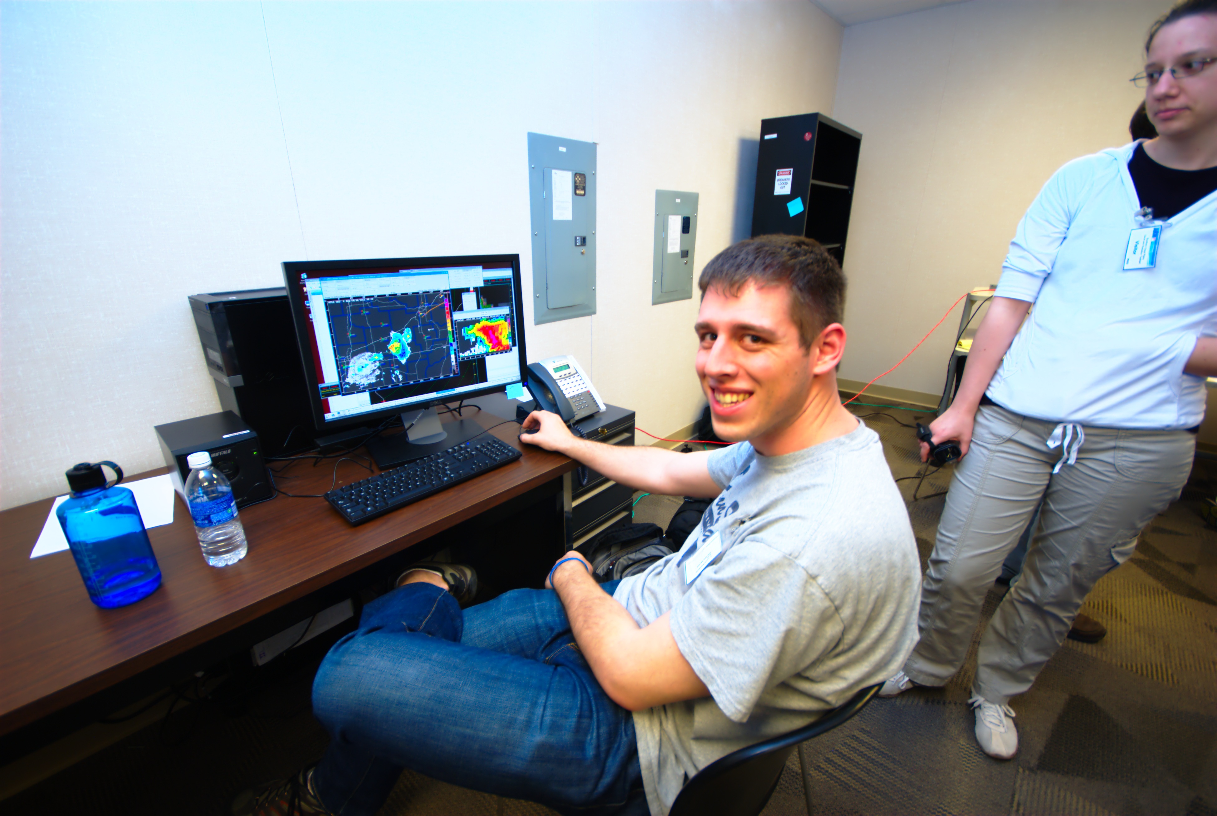
In the very early hours of Monday morning all present in the radar control room at the SGP central facility witnessed a wonderful site: Overlaid on top of a display showing remote sensing data from the C-band ARM scanning precipitation radar (C-SAPR) were twin tracks representing the location of the two airborne platforms. The ER2 high altitude aircraft above the clouds was flying tracks above the in-cloud Citation, collecting vital ice phase measurements.
So it seems nature delivered an Easter egg to the science community this weekend, and the dedication and hard work of the MC3E team helped find it: complex precipitation events sampled in situ, remotely, and on the ground in the middle of a network of upper air observations. Are we tired? Yes. Excited? You bet!
Cheers,
Scott Collis (Precipitation Radar data products translator)
The ARM Climate Research Facility is a DOE Office of Science user facility. The ARM Facility is operated by nine DOE national laboratories, including .
Follow Us:


Keep up with the Atmospheric Observer
Updates on ARM news, events, and opportunities delivered to your inbox
ARM User Profile
ARM welcomes users from all institutions and nations. A free ARM user account is needed to access ARM data.


